Courcelles, Belgium
Courcelles (French pronunciation: [kuʁ.sɛl]; Walloon: Courcele) is a Walloon municipality located in the Belgian province of Hainaut. As of January 1, 2006, Courcelles had a total population of 29,626. The total area is 44.24 km² which gives a population density of 670 inhabitants per km².
Courcelles | |
|---|---|
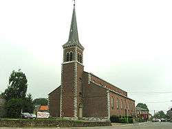 St. Lambert's church | |
 Flag  Coat of arms | |
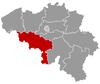
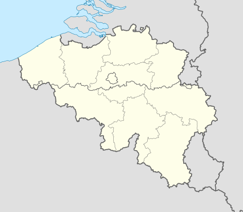 Courcelles Location in Belgium
Location of Courcelles in Hainaut 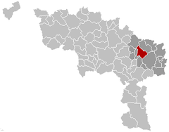 | |
| Coordinates: 50°28′N 04°22′E | |
| Country | Belgium |
| Community | French Community |
| Region | Wallonia |
| Province | Hainaut |
| Arrondissement | Charleroi |
| Government | |
| • Mayor | Caroline Taquin (MR) |
| • Governing party/ies | MR, CDH, Ecolo |
| Area | |
| • Total | 48.04 km2 (18.55 sq mi) |
| Population (2018-01-01)[1] | |
| • Total | 31,376 |
| • Density | 650/km2 (1,700/sq mi) |
| Postal codes | 6180-6183 |
| Area codes | 071 |
| Website | www.courcelles.be |
The municipality consists of the following sub-municipalities: Courcelles proper, Gouy-lez-Piéton, Souvret, and Trazegnies.
In 1944, the town was the site of the Courcelles Massacre of 20 civilians by Belgian collaborators. The event is commemorated by a plaque at the site.
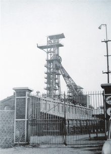
The coal mine "6 périer", Souvret
Notable people
- Loïc Nottet, singer who finished second in the third season of The Voice Belgique in 2014 and represented Belgium in the Eurovision Song Contest 2015 which was held in Vienna, Austria[2]
gollark: Anyway, if I did do this it would involve being able to use yet another random-stuff API endpoint to post things to go in `current-song`.
gollark: NO THIS IS NOT A SPUDNET SITUATION
gollark: I mean, possible, but somewhat difficult and potentially bees.
gollark: Probably, but I don't really know.
gollark: Nope. Not that I know of. The most it can do is album art.
References
- "Wettelijke Bevolking per gemeente op 1 januari 2018". Statbel. Retrieved 9 March 2019.
- "Loïc Nottet - Eurovision Song Contest Vienna 2015". Retrieved 2017-06-07.
External links

Places adjacent to Courcelles, Belgium | |
|---|---|
This article is issued from Wikipedia. The text is licensed under Creative Commons - Attribution - Sharealike. Additional terms may apply for the media files.