Conil de la Frontera
Conil de la Frontera is a town on the Atlantic coast in the southern part of Spain, with around 22,000 inhabitants.
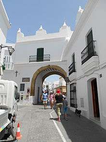
Villa Gate.
.jpg)
Tower of Guzmán.
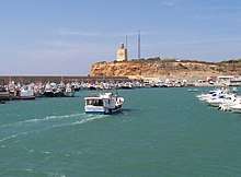
Port and lighthouse of Roche.
Conil | |
|---|---|
 | |
 Flag  Coat of arms | |
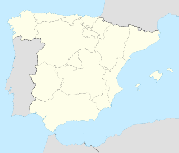 Conil Location in Spain | |
| Coordinates: 36°16′N 6°5′W | |
| Country | |
| Autonomous community | |
| Province | Cádiz |
| Comarca | La Janda |
| Government | |
| • Mayor | Antonio Jesús Roldán Muñoz (Izquierda Unida) |
| Area | |
| • Total | 88.51 km2 (34.17 sq mi) |
| Elevation | 41 m (135 ft) |
| Population (2018)[1] | |
| • Total | 22,427 |
| • Density | 250/km2 (660/sq mi) |
| Demonym(s) | Conileños |
| Time zone | UTC+1 (CET) |
| • Summer (DST) | UTC+2 (CEST) |
| Postal code | 11140 |
| Website | Official website |
It has six beaches: Playa La Fontanilla, Playa El Roqueo (with a 1936 Civil War bunker), Playa Fuente del Gallo, Playa Punta Lejos, Playa Cala del Aceite and Playa los Bateles. Playa los Bateles is the longest and the most popular in the summer. Conil de la Frontera is primarily a vacation town and the most of the tourists are Spanish although you often also hear German as well in town.
Every Friday you can visit the market on Avda. de la Música, which includes culture and history. The market includes many little trinkets and handmade clothes. The beach is sandy and has volleyball nets.
Panorama
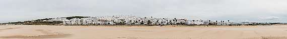
Conil de la Frontera
gollark: <:thonk:445016973798014987>
gollark: Emoji harvesting.
gollark: <:rust_code:747529842999689298>
gollark: <:idk:792409978111131668>
gollark: https://discordapp.com/oauth2/authorize?&client_id=235088799074484224&scope=bot&permissions=0
References
- Municipal Register of Spain 2018. National Statistics Institute.
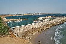
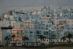
Harbor of Conil de la Frontera
| Wikimedia Commons has media related to Conil de la Frontera. |
| Authority control |
|
|---|
This article is issued from Wikipedia. The text is licensed under Creative Commons - Attribution - Sharealike. Additional terms may apply for the media files.