Colotenango
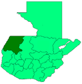
Colotenango is a town and municipality in the Guatemalan department of Huehuetenango. The municipality is situated at 1,590 m (5,220 ft) above sea level and has a population of 34,834 (2018 census). It covers an area of 62 km2 (24 sq mi). The annual festival is August 12- 15.
Colotenango | |
|---|---|
Municipality | |
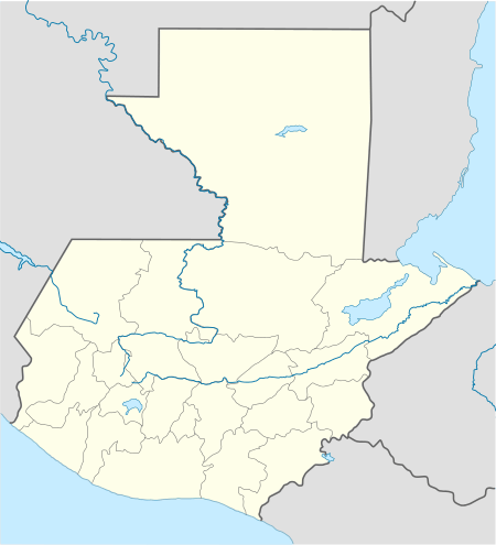 Colotenango Location in Guatemala | |
| Coordinates: 15°24′17″N 91°42′50″W | |
| Country | |
| Department | |
| Government | |
| • Mayor | Aroldo Ríos (UNE) |
| Area | |
| • Municipality | 62 km2 (24 sq mi) |
| Population (2018 census)[1] | |
| • Municipality | 34,834 |
| • Density | 560/km2 (1,500/sq mi) |
| • Urban | 5,132 |
| Climate | Cwb |
Colotenango has two holy sites called Tuikalajan and Tuisanmarcos.
Demographics
Colotenango is traditionally a Maya community whose residents speak the Mayan Mam language.[2] Two-thirds of the residents are Catholic, while about thirty percent are Evangelica.
Aldeas
Colotenango includes the following aldeas (towns), Colotenango (el pueblo), El Granadillo, Ical, Ixconlaj, La Barranca, La Vega, Tojlate, Luminoche, Tixel, and Xemal.
gollark: Well, I have a program for the function-generating bit.
gollark: Thanks to Mafs™ you can algorithmically generate various sorts of function which produces the values the question specifies for x = 1, 2, 3 and whatever it says, but then some wildly different answer for anything else.
gollark: I felt it was worth mentioning generally, though.
gollark: Yes, I know.
gollark: Technically, the answer to "what comes next" questions can be basically whatever you want.
References
- Citypopulation.de Population of departments and municipalities in Guatemala
External links
- in Spanish
- Municipal map.
This article is issued from Wikipedia. The text is licensed under Creative Commons - Attribution - Sharealike. Additional terms may apply for the media files.