Cohagen, Montana
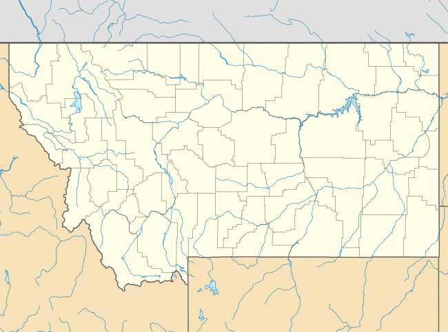
Cohagen is an unincorporated community in southeastern Garfield County, Montana, United States. It lies along Highway 59 southeast of the town of Jordan, the county seat of Garfield County.[1] Its elevation is 2,720 feet (829 m).[2] Although Cohagen is unincorporated, it has a post office, with the ZIP code of 59322,[3] which opened on 1905-08-18.[4]
Cohagen, Montana | |
|---|---|
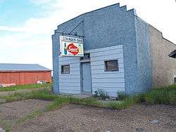 Cohagen Bar in Cohagen, Montana | |
 Cohagen  Cohagen | |
| Coordinates: 47°3′16″N 106°37′3″W | |
| Country | United States |
| State | Montana |
| County | Garfield |
| Elevation | 2,720 ft (830 m) |
| Time zone | UTC-7 (Mountain (MST)) |
| • Summer (DST) | UTC-6 (MDT) |
| ZIP codes | 59322 |
| GNIS feature ID | 806931 |
Climate
According to the Köppen Climate Classification system, Cohagen has a semi-arid climate, abbreviated "BSk" on climate maps.[5]
gollark: Yes, in raw sequential IO, but I don't think they're massively faster for random read/writes.
gollark: <@306998505862594569> For boot a decent SATA SSD will still be about the same speed.
gollark: Not on the same connector, though: <https://en.wikipedia.org/wiki/M.2#Form_factors_and_keying>
gollark: ... *can* you run IDE over PCIe or SATA?Oddly, with different M.2 keys, you can get I²C, USB, DisplayPort, audio, SIM card connectors, SMBus, SDIO, UART and PCM on a M.2 card. I don't know why they added support for this.
gollark: What do you want me to say, AHCI vs NVMe? PCIe vs SATA?
References
- Rand McNally. The Road Atlas '08. Chicago: Rand McNally, 2008, p. 61.
- U.S. Geological Survey Geographic Names Information System: Cohagen, Montana
- Zip Code Lookup Archived 2011-06-15 at the Wayback Machine
- U.S. Geological Survey Geographic Names Information System: Cohagen Post Office
- Climate Summary for Cohagen, Montana
Municipalities and communities of Garfield County, Montana, United States | ||
|---|---|---|
| Town | 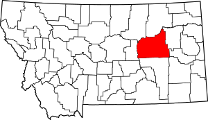 Garfield County map | |
| Unincorporated communities | ||
This article is issued from Wikipedia. The text is licensed under Creative Commons - Attribution - Sharealike. Additional terms may apply for the media files.