Closplint, Kentucky
Closplint is an unincorporated community in Harlan County, Kentucky, United States. The settlement was named Cloversplint after the seam of coal and the mining company (Clover Splint Coal Company, Inc.[2] ) that built it as a coal town in 1926[3] , and operated there between 1928 and 1946 [4] . When the United States Postal Service established a post office (ZIP Code 40927), the name was shortened to Closplint.
Closplint, Kentucky | |
|---|---|
 Closplint  Closplint | |
| Coordinates: 36°54′14″N 83°4′10″W | |
| Country | United States |
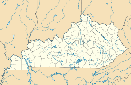
| State | Kentucky |
| County | Harlan |
| Elevation | 1,539 ft (469 m) |
| Time zone | UTC-6 (Central (CST)) |
| • Summer (DST) | UTC-5 (CST) |
| ZIP codes | 40927 |
| GNIS feature ID | 511416[1] |
References
- U.S. Geological Survey Geographic Names Information System: Closplint, Kentucky
- "Fasttrack Organization Search". app.sos.ky.gov. Retrieved 30 January 2019.
- Chris DellaMea. "CLOSPLINT KY". coalcampusa.com. Retrieved 30 January 2019.
The Clover Splint Coal Company (hence Closplint) constructed this coal town and coal mine in 1926. That is kind of a late date for a coal company town, and it shows in the "enlightened" and "reformed" arrangement of these company houses.
- Kentucky Foundation. "Kentucky Coal Heritage - Harlan County, Kentucky Coal Camps". coaleducation.org. Retrieved 30 January 2019.
Municipalities and communities of Harlan County, Kentucky, United States | ||
|---|---|---|
| Cities |  Location of Harlan County, Kentucky | |
| CDPs | ||
| Other unincorporated communities |
| |
| Ghost towns | ||
This article is issued from Wikipedia. The text is licensed under Creative Commons - Attribution - Sharealike. Additional terms may apply for the media files.