Clear Brook (Nanticoke River tributary)
Clear Brook is a 23.02 mi (37.05 km) long tributary to Nanticoke River in Sussex County, Delaware. It joins the Nanticoke at "Williams Pond" in the City of Seaford, Delaware.
| Clear Brook Tributary to Nanticoke River | |
|---|---|
Clear Brook downstream of Hearns Pond | |
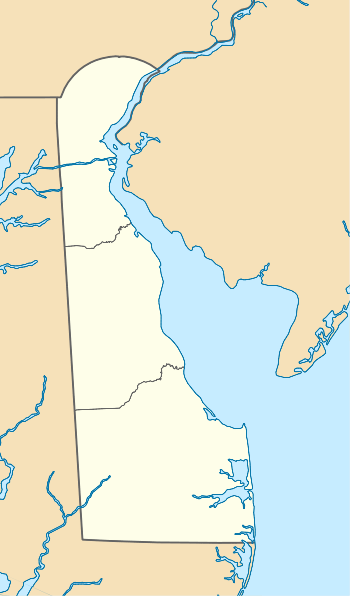 Location of Clear Brook mouth  Clear Brook (Nanticoke River tributary) (the United States) | |
| Location | |
| Country | United States |
| State | Delaware |
| County | Sussex |
| Physical characteristics | |
| Source | divide between Clear Brook and Bridgeville Branch of Nanticoke River |
| • location | about 1 mile southwest of Bridgeville, Delaware[1] |
| • coordinates | 38°43′55″N 075°38′18″W[2] |
| • elevation | 46 ft (14 m)[1] |
| Mouth | Nanticoke River |
• location | Seaford, Delaware[1] |
• coordinates | 38°38′27″N 075°36′22″W[2] |
• elevation | 0 ft (0 m)[1] |
| Basin features | |
| Progression | southeast then southwest |
| River system | Nanticoke River |
| Tributaries | |
| • left | William H. Newton Ditch |
| • right | Swain and Truitt Ditch Bucks Branch Herring Run |
| Waterbodies | Hearns Pond Williams Pond |
See also
- List of Delaware rivers
References
- "Lewes Creek Topo Map, Sussex County DE (Sharptown Area)". TopoZone. Locality, LLC. Retrieved 2 August 2019.
- "GNIS Detail - Clear Brook". geonames.usgs.gov. US Geological Survey. Retrieved 2 August 2019.
- "ArcGIS Web Application". epa.maps.arcgis.com. US EPA. Retrieved 2 August 2019.
Dover (capital) | ||
| Topics |
|  |
| Society |
| |
| Cities | ||
| Towns |
| |
| Counties | ||
This article is issued from Wikipedia. The text is licensed under Creative Commons - Attribution - Sharealike. Additional terms may apply for the media files.