Chulpan, Bizhbulyaksky District, Republic of Bashkortostan
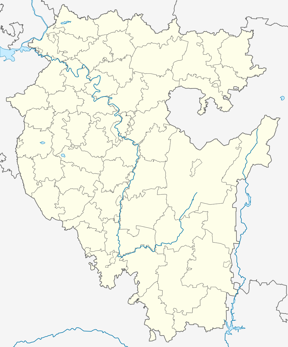
Chulpan (Russian: Чулпан) is a rural locality (a village) in Kenger-Meneuzovsky Selsoviet, Bizhbulyaksky District, Bashkortostan, Russia. The population was 121 as of 2010.[2] There is 1 street.
Chulpan Чулпан | |
|---|---|
Village | |
 Chulpan  Chulpan | |
| Coordinates: 53°41′N 54°21′E[1] | |
| Country | Russia |
| Region | Bashkortostan |
| District | Bizhbulyaksky District |
| Time zone | UTC+5:00 |
Geography
It is located 7 km from Bizhbulyak, 5 km from Kenger-Meneuz.
gollark: --userdata set bee cryoapiary 2.0
gollark: As planned.
gollark: --userdata get bee
gollark: +<markov <@!509849474647064576> 10
gollark: --roll 3d6
References
- Карта Бижбулякского района Башкортостана
- "Всероссийская перепись населения 2010 года. Численность населения по населённым пунктам Республики Башкортостан" (PDF). Archived from the original (PDF) on 2019-05-17. Retrieved 2019-06-17.
This article is issued from Wikipedia. The text is licensed under Creative Commons - Attribution - Sharealike. Additional terms may apply for the media files.