Cherykaw
Cherykaw (Belarusian: Чэрыкаў; Russian: Чериков; Polish: Czeryków) is a town in Mogilev Region, Eastern Belarus. It is located in the east of the Region, on the Sozh River, and serves as the administrative center of Cherykaw District. As of 2009, its population was 8,177.[1]
Cherykaw Чэрыкаў Чериков | |
|---|---|
 Coat of arms | |
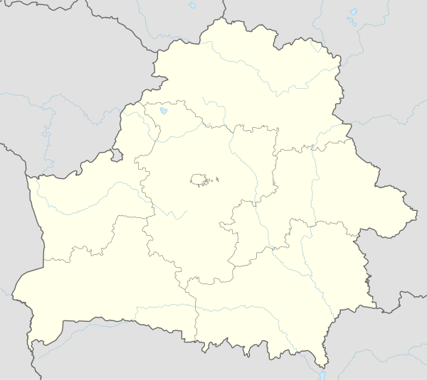
 Cherykaw Location of Cherykaw, shown within the Mahilyow Voblast | |
| Coordinates: 53°34′N 31°22′E | |
| Country Subdivision | Mogilev Region |
| Population (2009) | |
| • Total | 8,177 |
| Time zone | UTC+2 (EET) |
| • Summer (DST) | UTC+3 (EEST) |
| License plate | 6 |
History
Cherykaw was first mentioned in 1460. At the time, it was a part of Kingdom of Poland, and Casimir IV Jagiellon, the king, ordered to have an Orthodox church to be built in Cherykaw. In 1604, Cherykaw was granted the town status, and in 1641, it was granted a coat of arms.[2] In 1772, as a result of the First Partition of Poland, it was transferred to Russia. In the 19th century it belonged to Mogilev Governorate. In 1919, Mogilev Governorate was abolished, and Cherykaw was transferred to Gomel Governorate. On July 17, 1924 the governorate was abolished, and Cherykaw became the administrative center of Cherykaw Raion, which belonged to Kalinin Okrug of Byelorussian Soviet Socialist Republic. In July, 1927, Kalinin Okrug was abolished, and Cherykaw was transferred into Mogilev Okrug. On January 15, 1938 the raion was transferred to Mogilev Region. During the Second World War, the town was occupied by German troops and severely damaged. In 1986, it was considerably affected by the Chernobyl disaster.
Economy
Industry
There are timber industry and textile industry enterprises in Cherykaw.[3]
Transportation
The town is located on the highway connecting Roslavl in Russia with Bobruysk. There are also road connections with Mogilev via Chavusy and with Kastsyukovichy.
Culture and recreation
In Cherykaw, several buildings survived from the 19th and the beginning of the 20th century. In particular, the Catholic church was built in 1869, and in the Soviet times was used as a Palace of Culture. One of the mansions from the 19th century is currently used as a church.[4]
References
| Wikimedia Commons has media related to Čerykaŭ. |
- Численность населения областей и районов: Могилевская (PDF) (in Russian). Национальный статистический комитет Республики Беларусь. Archived from the original (PDF) on 18 September 2010. Retrieved 30 January 2012.
- История (in Russian). Чериковский районный исполнительный комитет. 2007. Archived from the original on 4 March 2016. Retrieved 19 February 2012.
- Промышленность (2007). Чериковский районный исполнительный комитет (in Russian). Archived from the original on 31 July 2010. Retrieved 19 February 2012.
- Чериков (in Russian). Глобус Беларуси. Retrieved 19 February 2012.
External links
- The murder of the Jews of Cherykaw during World War II, at Yad Vashem website.
