Changali Wala
Changaliwala is a village in Sub division Lehragaga in Sangrur district in the state of Punjab. It is located 40 km to the south of District headquarters Sangrur, 149 km from State capital Chandigarh. Earlier the village was called Kartarpura, named after Numberdar Kartar Singh. But as many people migrated here from Changal Village in District Sangrur, it was renamed Changaliwala.
Changaliwala Kartarpura | |
|---|---|
village | |
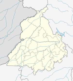 Changaliwala Location in Punjab, India | |
| Coordinates: 29.96088359°N 75.79510689°E | |
| Country | |
| State | Punjab |
| District | Sangrur |
| Named for | Late. Kartar Singh Numberdar |
| Government | |
| • Body | Panchayat |
| • Sarpanch | Jaswinder kaur |
| Area | |
| • Total | 4.94 km2 (1.91 sq mi) |
| Elevation | 221 m (725 ft) |
| Population (2001) | |
| • Total | 988 |
| • Density | 200/km2 (520/sq mi) |
| Languages | |
| • Official | Punjabi |
| Time zone | UTC+5:30 (IST) |
| PIN | 148031 |
| Telephone code | 91-1676 |
| Vehicle registration | PB 75 |
Geography
Changaliwala (village) is located at 29.96°N 75.79°E 3 km from Lehragaga to Sunam Main Road.
Demographics
As of 2001 India census,[1] Changaliwala had a population of 988. Males 525 and females 463. There were 174 households.
gollark: A formatting challenge should allow anything which parses to valid JSON still to permit fun formatting styles.
gollark: I could enter in both simultaneously to create additional bee.
gollark: They even have the same entries which is cool. For now.
gollark: (inevitably)
gollark: #4.
This article is issued from Wikipedia. The text is licensed under Creative Commons - Attribution - Sharealike. Additional terms may apply for the media files.