Chandelle Estates Airport
Chandelle Estates Airport (FAA LID: 0N4) is a public use airport located three nautical miles (6 km) northeast of the central business district of Dover, in Kent County, Delaware, United States. It is privately owned by RJR Airdrome, Inc.[1]
Chandelle Estates Airport | |||||||||||
|---|---|---|---|---|---|---|---|---|---|---|---|
| Summary | |||||||||||
| Airport type | Public | ||||||||||
| Owner | RJR Airdrome, Inc. | ||||||||||
| Serves | Dover, Delaware | ||||||||||
| Elevation AMSL | 22 ft / 7 m | ||||||||||
| Coordinates | 39°12′08″N 075°29′08″W | ||||||||||
| Map | |||||||||||
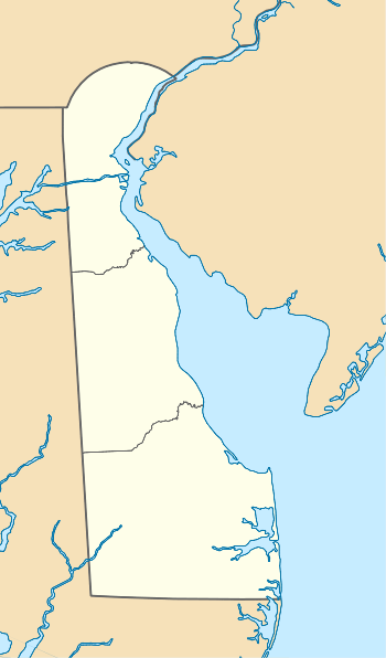
 0N4 Location of airport in Delaware/United States  0N4 0N4 (the United States) | |||||||||||
| Runways | |||||||||||
| |||||||||||
| Statistics (2007) | |||||||||||
| |||||||||||
Facilities and aircraft
Chandelle Estates Airport covers an area of 27 acres (11 ha) at an elevation of 22 feet (7 m) above mean sea level. It has one asphalt paved runway designated 4/22 which measures 2,533 by 28 feet (772 x 9 m). For the 12-month period ending August 23, 2007, the airport had 6,800 general aviation aircraft operations, an average of 18 per day.
gollark: ... paper chess?
gollark: Disguise your chess app's interface as schoolwork!
gollark: It's a library thing, not a language one.
gollark: DO NOT
gollark: NOOOOOOOOOOOOOOOOOOOOOOOOOOOOoo
References
- FAA Airport Master Record for 0N4 (Form 5010 PDF), effective 2009-05-07.
External links
- "Chandelle Estates Airport (0N4)" (PDF). Archived from the original (PDF) on 2009-06-12. at Delaware DOT website
- Resources for this airport:
- FAA airport information for 0N4
- AirNav airport information for 0N4
- FlightAware airport information and live flight tracker
- SkyVector aeronautical chart for 0N4
This article is issued from Wikipedia. The text is licensed under Creative Commons - Attribution - Sharealike. Additional terms may apply for the media files.