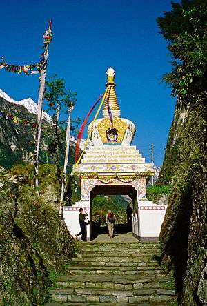
Chame, Nepal
Chame (Nepali: चाँमे) is the headquarters of Manang District in the Gandaki Zone of northern Nepal.[2] At the time of the 2011 Nepal census it had a population of 1129 people living in 279 individual households. Manang District is the lowest populated district in Nepal.
Chame चाँमे | |
|---|---|
Municipality | |
 | |
 Chame Location in Nepal | |
| Coordinates: 28°33′7″N 84°14′27″E | |
| Country | |
| Zone | Gandaki Zone |
| District | Manang District |
| Elevation | 2,650 m (8,690 ft) |
| Population (2011)[1] | |
| • Total | 1,129 |
| Time zone | UTC+5:45 (Nepal Time) |
| Website | http://chamemun.gov.np/ |
2015 Nepal earthquake
The village was affected by an earthquake on 25 April 2015. Reports from the area indicate that the roads and buildings of the village are damaged.[3]
gollark: But look at this: https://psyarxiv.com/efs5y/
gollark: I mean, *maybe* some behaviors make sense at population scale or in some bizarre game-theoretic way?
gollark: No, humans just act irrationally all the time for no good reason.
gollark: We should have neural network generated IQ tests.
gollark: You can't get some sort of highly accurate picture of intelligence out of a random test thing, but it's an approximation, sort of thing.
References
- "National Population and Housing Census 2011(Village Development Committee/Municipality)" (PDF). Government of Nepal. National Planning Commission. November 2012. Archived from the original (PDF) on 2016-12-21. Retrieved 2017-01-18.
- Districts of Nepal - Statoids
- Amey, Ben (27 April 2015). "Delmar doctor stranded in Nepal after earthquake". WNYT.com. WNYT.com. Archived from the original on 1 May 2015. Retrieved 1 May 2015.
Manang District | ||
|---|---|---|
Headquarters: Chame Rural Municipality | ||
| Rural municipalities |  | |
| Former VDCs | ||
This article is issued from Wikipedia. The text is licensed under Creative Commons - Attribution - Sharealike. Additional terms may apply for the media files.