Chadwell, Leicestershire
Chadwell is a small village approximately 4 miles (6.4 km) northwest of Melton Mowbray in Leicestershire.[1][2]
| Chadwell | |
|---|---|
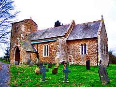
 St. Mary's Parish Church, Chadwell | |
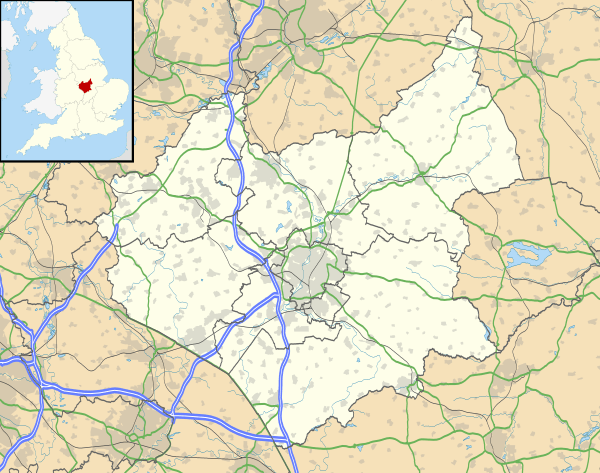
 Chadwell Location within Leicestershire | |
| Civil parish | |
| District | |
| Shire county | |
| Region | |
| Country | England |
| Sovereign state | United Kingdom |
| Post town | Melton Mowbray |
| Postcode district | LE14 |
| Police | Leicestershire |
| Fire | Leicestershire |
| Ambulance | East Midlands |
| UK Parliament | |
Chadwell is near to Wycomb and they share the same church of St.Mary in the same ecclesiastical parish. The hamlets are part of Scalford and share the same parish council. The village was originally named Cauldwell, and was once twice the size it is now.
References
- Ordnance Survey: Landranger map sheet 129 Nottingham & Loughborough (Melton Mowbray) (Map). Ordnance Survey. 2014. ISBN 9780319231623.
- "Ordnance Survey: 1:50,000 Scale Gazetteer" (csv (download)). www.ordnancesurvey.co.uk. Ordnance Survey. 1 January 2016. Retrieved 30 January 2016.
| Wikimedia Commons has media related to Chadwell, Leicestershire. |
This article is issued from Wikipedia. The text is licensed under Creative Commons - Attribution - Sharealike. Additional terms may apply for the media files.