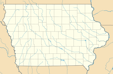
Cedar, Iowa
Cedar is an unincorporated community in southeastern Mahaska County, Iowa, United States. It lies along Iowa Highway 23 southeast of the city of Oskaloosa, the county seat of Mahaska County.[2] Its elevation is 814 feet (248 m), and it is located at 41°12′45″N 92°31′25″W (41.2125,-92.5235).[1] Although Cedar is unincorporated, it has a post office with the ZIP code of 52543,[3] which opened on 19 June 1874.[4] Cedar also has a Methodist church, Christian Reformed church, and a grain elevator.
Cedar, Iowa | |
|---|---|
Cedar Hall | |
 Cedar, Iowa | |
| Coordinates: 41°12′44″N 92°31′33″W | |
| Country | United States |
| State | Iowa |
| County | Mahaska |
| Elevation | 814 ft (248 m) |
| Time zone | UTC-6 (Central (CST)) |
| • Summer (DST) | UTC-5 (CDT) |
| Area code(s) | 641 |
| GNIS feature ID | 455220[1] |
The Burlington and Western Railway arrived in Cedar in late 1882. This was a narrow gauge line, widened to standard gauge in 1902 and taken over by the Chicago, Burlington and Quincy. the Burlington line was abandoned in 1934.[5]
References
- U.S. Geological Survey Geographic Names Information System: Cedar, Iowa
- Rand McNally. The Road Atlas '08. Chicago: Rand McNally, 2008, p. 39.
- Zip Code Lookup Archived 2011-06-15 at the Wayback Machine
- U.S. Geological Survey Geographic Names Information System: Cedar Post Office
- David Lotz and Charles Franzen, 'Rails to a County Seat', The Print Shop, Washington Iowa, 1989; pages 37, 47-52.
This article is issued from Wikipedia. The text is licensed under Creative Commons - Attribution - Sharealike. Additional terms may apply for the media files.