Cass Fjord
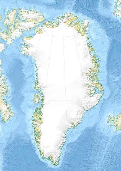
Cass Fjord is a fjord in northern Greenland. To the southwest, the fjord opens into the Kane Basin of the Nares Strait.
| Cass Fjord | |
|---|---|
 Cass Fjord Location in Greenland | |
| Location | Arctic |
| Coordinates | 80°3′N 65°0′W |
| Ocean/sea sources | Peabody Bay Kane Basin |
| Basin countries | Greenland |
| Max. length | 25 km (16 mi) |
| Max. width | 5.5 km (3.4 mi) |
Geography
The Cass Fjord opens to the SW at the northern end of Peabody Bay, north of Cape Clay.[1] Cass Fjord forms Washington Land's southeastern coastline and the facing shore is part of Daugaard-Jensen Land.[2] The Washington Land shore is fringed by 180 m (590 ft) high cliffs, known as Poulsens Klint.[3]
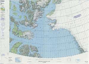
 Map of Northwestern Greenland |
gollark: ++undelete antiparadoxes
gollark: All resolved.
gollark: ++delete paradoxes
gollark: YET.
gollark: It doesn't.
References
- "Cass Fjord". Mapcarta. Retrieved 28 February 2019.
- GoogleEarth
- Prostar Sailing Directions 2005 Greenland and Iceland Enroute, p. 92
External links
This article is issued from Wikipedia. The text is licensed under Creative Commons - Attribution - Sharealike. Additional terms may apply for the media files.