Carron Crag
Carron Crag is a small fell in Grizedale Forest in the English Lake District with a height of 314 metres (1,030 ft). Adjacent to the trig point is a large panopticon sculpture, one of over 70 in the forest. It is the second highest point in Grizedale Forest after Top o'Selside.
| Carron Crag | |
|---|---|
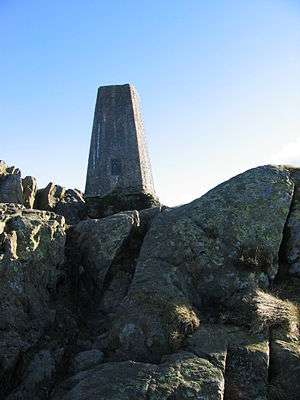 Trig point on Carron Crag | |
| Highest point | |
| Elevation | 314 m (1,030 ft) |
| Listing | Outlying Wainwright |
| Coordinates | 54°20′23″N 3°02′23″W |
| Geography | |
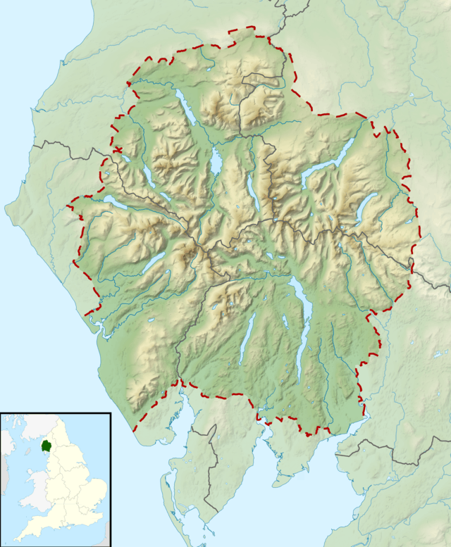 Carron Crag Location in Lake District, UK | |
| Location | Cumbria, England |
| Parent range | Lake District Outlying Fells |
| OS grid | SD325943 |
| Topo map | OS Outdoor Leisure 7 |

Panopticon sculpture looking North
It is the subject of a chapter of Wainwright's book The Outlying Fells of Lakeland. Wainwright describes a circular walk from Grizedale.[1]
Letterbox
Near the trig point is one of a series of hidden letterboxes placed in various locations throughout the Lake District.
- From the trig point go 70 paces 335° to a large standing stone type boulder; the box is 5 paces away under a rock in a small cave behind stones.
gollark: > In the early 1990s, O'Sullivan led a team at the CSIRO which patented, in 1996, the use of a related technique for reducing multipath interference of radio signals transmitted for computer networking. This technology is a part of all recent WiFi implementationsAh, so they contributed somewhat to WiFi.
gollark: CSIRO, that is.
gollark: It says that they came up with some sort of Fourier-transform-based thing used in the signalling?
gollark: I'm trying to confirm what you said about WiFi there.
gollark: I think that's America-based?
References
- Wainwright, A. (1974). "Carron Crag". The Outlying Fells of Lakeland. Kendal: Westmorland Gazette. pp. 88–91.
This article is issued from Wikipedia. The text is licensed under Creative Commons - Attribution - Sharealike. Additional terms may apply for the media files.