Carrickbrack Road
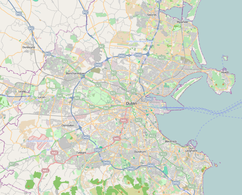
Carrickbrack Road is a road in Dublin, Ireland which is a constituent part of the R105 Regional Road. It leads east-southeast from Sutton Creek around the southern part of Howth Head up to the eastern part of the headland near the summit to Thormanby Road. It is the main thoroughfare through the southern part of the headland. Greenfield road links it to Sutton Cross. Howth Golf Club is located on it, as are Bellingham farm, Howth Celtic Football Club, St. Fintan's Cemetery, St. Fintan's National School and various private residences.
| R105 | |
 | |
| Native name | Bóthar Charraig Bhreac (Irish) |
|---|---|
| Namesake | Carrickbrack Rock |
| Length | 4.5 km (2.8 mi) |
| Width | 11 metres (36 ft) |
| Location | Howth Head, Dublin, Ireland |
| Postal code | D13 |
| Coordinates | 53.371816°N 6.087629°W |
| west end | Greenfield Road |
| east end | Thormanby Road |
The road is named after Carrickbrack Rock (Carraig Breac, "speckled stone"), a peak in the south end of Howth.
Until its abolition in 1959, the Howth Tram ran along Carrickbrack Road on its way to Howth Summit.
Attractions
St. Fintan's Cemetery, Sutton is on the southwestern part of the road, though the church is on Greenfield Road. People buried in the cemetery include rock band Thin Lizzy's lead singer Phil Lynott, former Taoiseach and president Patrick Hillery and Ex-Taoiseach Charles J. Haughey.
Connecting roads and housing estates
The road provides entry to the housing estates of Santa Sabina Manor, Offington, Duncarrig, Glencarraig, Carrickbrack Lawns, as well as Strand Road, Baron Hill, Windgate road, Ceanchor Road and St. Fintan's Road.
The Stella Maris convent is housed in a former private residence that was donated to the order in 1893.[1] The convent runs a retreat centre.[2]
Views
Shielmartin Hill is visible from much of the western part of the road and can be accessed from it.