Carfury
Carfury is a hamlet in west Cornwall, England, United Kingdom. It is situated in Penwith approximately three miles (5 km) northwest of Penzance.[1] It is in the civil parish of Madron
| Carfury | |
|---|---|
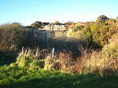 A flooded quarry at Carfury | |
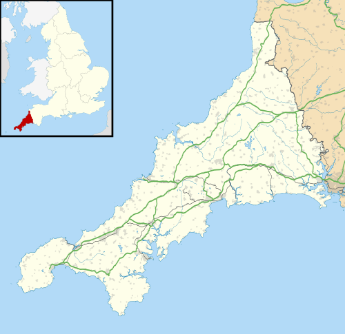 Carfury Location within Cornwall | |
| OS grid reference | SW445341 |
| Civil parish | |
| Shire county | |
| Region | |
| Country | England |
| Sovereign state | United Kingdom |
| Post town | Penzance |
| Postcode district | TR20 |
| Police | Devon and Cornwall |
| Fire | Cornwall |
| Ambulance | South Western |
The 19th-century geologist Elizabeth Carne founded a school in Carfury.[2]
There are three listed buildings in Carfury, all Grade II: Carfury farmhouse and its front garden walls, farm buildings west of Carfury farmhouse, and a piggery north of the farmhouse.[3]
Carfury Bible Christian Chapel
Carfury Bible Christian Chapel was founded in 1821[4] with seating for 172.[5] From 1907 to 1932, the chapel was known as Carfury United Methodist Church. It closed and the premises were sold in 1971. Records and papers relating to the Carfury Chapel are held by Cornwall Record Office.
References
- Ordnance Survey: Landranger map sheet 203 Land's End ISBN 978-0-319-23148-7
- Marilyn Ogilvie; Joy Harvey. The Biographical Dictionary of Women in Science: Pioneering Lives. Google Books. Retrieved on 7 May 2008.
- "Listed Buildings in Penwith" (PDF). Penwith.gov.uk. Archived from the original (PDF) on 3 May 2006.
- "Carfury Methodist Church, Gulval c1821-1970". Cornwall Councill. Retrieved 15 May 2012.
- "West Penwith Resources - St Ives Methodist Circuits". West Penwith Resources. Retrieved 15 May 2012.
External links
![]()
Cornwall Portal | |
| Unitary authorities | |
| Major settlements |
|
| Rivers | |
| Topics | |