Capurro, Uruguay
Capurro is a populated centre in San José Department of southern Uruguay.
- Not to be confused with Capurro, the barrio of Montevideo
Capurro | |
|---|---|
Populated centre | |
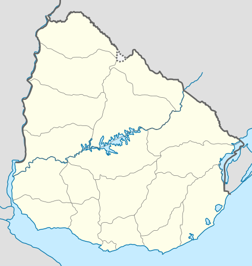 Capurro Location in Uruguay | |
| Coordinates: 34°26′12″S 56°27′53″W | |
| Country | |
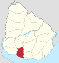
| Department | San José Department |
| Elevation | 35 m (115 ft) |
| Population (2011) | |
| • Total | 771 |
| Time zone | UTC -3 |
| Postal code | 80004 |
| Dial plan | +598 4348 (+4 digits) |
Location
It is located between Routes 77 and 78, 7 kilometres (4.3 mi) west of Santa Lucía (of Canelones Department) and 26 kilometres (16 mi) southeast of the department capital San José de Mayo. Its nearest populated centre is 18 de Julio (Pueblo Nuevo), 2 kilometres (1.2 mi) to the east.
Population
In 2011 Capurro had a population of 517.[1]
| Year | Population |
|---|---|
| 1963 | 126 |
| 1975 | 123 |
| 1985 | 328 |
| 1996 | 390 |
| 2004 | 580 |
| 2011 | 517 |
Source: Instituto Nacional de Estadística de Uruguay[2]
Places of worship
- Christ the Redeemer Parish Church (Roman Catholic)
gollark: I don't even really have a dedicated TV for TV-ing and just alt-tab a lot.
gollark: I have a veeeery short attention span and context switch a lot.
gollark: Personally, I mostly just shove movies on in the background while doing other stuff.
gollark: Not sure what 1 means.
gollark: The second one appears to be caused by less work (→ less income taxes, having to subsidize furlough stuff etc), and less economic activity generally (→ less tax), as well as having probably significant expenses on doing testing and tracing and all that.
References
- "Censo 2011 - San José (needs flash plugin)". INE. 2012. Retrieved 29 August 2012.
- "1963–1996 Statistics / C" (DOC). INE. 2004. Retrieved 30 June 2011.
External links
Capital: San José de Mayo | ||
| Towns and villages |
|  |
| Sights | ||
* parts of Ciudad del Plata as of 2006 | ||
This article is issued from Wikipedia. The text is licensed under Creative Commons - Attribution - Sharealike. Additional terms may apply for the media files.