Cape Cleveland, Lincoln Sea
Cape Cleveland (Danish: Kap Cleveland) is a headland in North Greenland. Administratively it is part of the Northeast Greenland National Park.
| Cape Cleveland | |
|---|---|
| Kap Cleveland | |
 | |
| Location | North Greenland |
| Coordinates | 82°18′N 52°15′W |
| Offshore water bodies | Sherard Osborn Fjord Lincoln Sea |
| Area | Arctic |
Geography
Cape Cleveland is located at the northern end of Castle Island, at the mouth of the Sherard Osborn Fjord opposite the eastern shore of Hendrik Island.[1]
Pointing towards the Lincoln Sea, it is one of the two capes of the island, together with the southernmost headland, Cape Gray.[2]
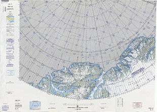 Map of the Nares Strait area. |
gollark: Coltrans probably would, honestly.
gollark: AutoBotRobot probably won't die, you could use it.
gollark: ++delete <@319753218592866315> (insanity reasons)
gollark: Nobody wanted to still be allowed to in "exceptional circumstances", but we decided that in any circumstance which actually was very exceptional he should not be concerned about being banned from a discord server.
gollark: The staff team has roughly converged on "no extensive information gathering", which is roughly what the rule is.
See also
References
- "Kap Cleveland". Mapcarta. Retrieved 31 May 2019.
- Sven Hedin Firn, Army Map Service, United States Army Corps of Engineers, Greenland 1:250,000
This article is issued from Wikipedia. The text is licensed under Creative Commons - Attribution - Sharealike. Additional terms may apply for the media files.