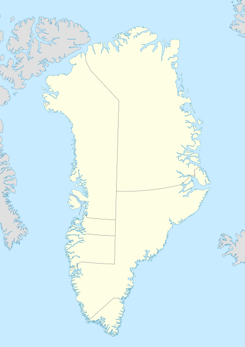
Hendrik Island

Hendrik Island is an island in far northern Greenland. Its area is 583 km².[1] It is part of the Northeast Greenland National Park.

Hendrik Island
Native name:
Hendrik Ø
Hendrik Island
Geography
LocationLincoln Sea
Coordinates82°03′N 52°46′W
Area583 km2 (225 sq mi)
Length46 km (28.6 mi)
Width8 km (5 mi)
Highest elevation1,152 m (3,780 ft)
Administration
Greenland
Demographics
Population0

The island is named after Inuit Arctic explorer Hendrik Olsen, who was a member of Knud Rasmussen's Second Thule Expedition 1916–1917.

Geography

Hendrik Island is a large coastal island located east of Nyeboe Land, between Saint George Fjord to the west and Sherard Osborn Fjord to the east. Its southern end faces the mouth of Hartz Sound, off the Warming Land Peninsula. The northernmost headland of the island is Dragon Point. Smaller Castle Island lies in Saint Andrew Bay off the northeastern shore of Hendrik Island.

The island is largely unglaciated except for small glaciers. It is mountainous, with a peak at its northern end reaching 1152 m. The sea around the island is rarely free from ice.[2]

Map of the Lincoln Sea area.
gollark: You are missing a bracket, among probably many other problems.
gollark: ||1||||0||||2||||0||||3||||0||||4||||0||||5||||0||||6||||0||||7||||0||||8||||0||||9||||0||||1||||0||||0||||1||||1||||0||||1||||2||||0||||1||||3||||0||||1||||4||||0||||1||||5||||0||||1||||6||||0||||1||||7||||0||||1||||8||||0||||1||||9||||0||||2||||0||||0||||2||||1||||0||||2||||2||||0||||2||||3||||0||||2||||4||||0||||2||||5||||0||||2||||6||||0||||2||||7||||0||||2||||8||||0||||2||||9||||0||||3||||0||||0||||3||||1||||0||||3||||2||||0||||3||||3||||0||||3||||4||||0||||3||||5||||0||||3||||6||||0||||3||||7||||0||||3||||8||||0||||3||||9||||0||||4||||0||||0||||4||||1||||0||||4||||2||||0||||4||||3||||0||||4||||4||||0||||4||||5||||0||||4||||6||||0||||4||||7||||0||||4||||8||||0||||4||||9||||0||||5||||0||||0||||5||||1||||0||||5||||2||||0||||5||||3||||0||||5||||4||||0||||5||||5||||0||||5||||6||||0||||5||||7||||0||||5||||8||||0||||5||||9||||0||||6||||0||||0||||6||||1||||0||||6||||2||||0||||6||||3||||0||||6||||4||||0||||6||||5||||0||||6||||6||||0||||6||||7||||0||||6||||8||||0||||6||||9||||0||||7||||0||||0||||7||||1||||0||||7||||2||||0||||7||||3||||0||||7||||4||||0||||7||||5||||0||||7||||6||||0||||7||||7||||0||||7||||8||||0||||7||||9||||0||||8||||0||||0||||8||||1||||0||||8||||2||||0||||8||||3||||0||||8||||4||||0||||8||||5||||0||||8||||6||||0||||8||||7||||0||||8||||8||||0||||8||||9||||0||||9||||0||||0||||9||||1||||0||||9||||2||||0||||9||||3||||0||||9||||4||||0||||9||||5||||0||||9||||6||||0||||9||||7||||0||||9||||8||||0||||9||||9||||0||||1||||0||||0||
gollark: ...
gollark: ||s||||o||||l||||a||||r||||f||||l||||a||||m||||e||||5|| ||b||||a||||d||||,|| ||i||||n||||s||||t||||a||||l||||l|| ||p||||o||||t||||a||||t||||O||||S|| ||n||||o||||w||
gollark: yes, control over devices bad, submit to the M A N U F A C T U R E R and also google I guess.

See also

References

  1. "Hendrik Ø". Mapcarta. Retrieved 8 April 2016.
  2. Prostar Sailing Directions 2005 Greenland and Iceland Enroute, p. 94
This article is issued from Wikipedia. The text is licensed under Creative Commons - Attribution - Sharealike. Additional terms may apply for the media files.