Cañada Larga Airport
Cañada Larga Airport (ICAO: SLNL) is an airstrip serving the farming village of Cañada Larga in the Santa Cruz Department of Bolivia.
Cañada Larga Airport | |||||||||||
|---|---|---|---|---|---|---|---|---|---|---|---|
| Summary | |||||||||||
| Airport type | Public | ||||||||||
| Serves | Cañada Larga, Bolivia | ||||||||||
| Elevation AMSL | 1,197 ft / 365 m | ||||||||||
| Coordinates | 17°38′45″S 62°28′50″W | ||||||||||
| Map | |||||||||||
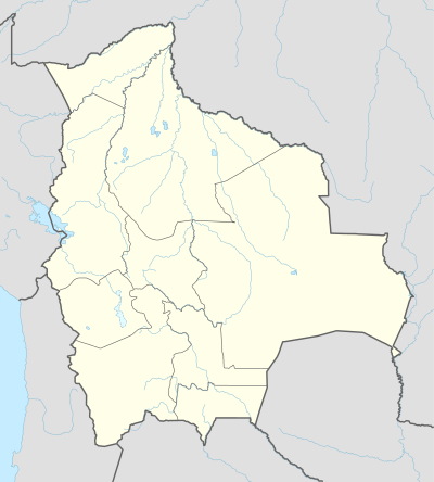 SLNL Location of the airport in Bolivia | |||||||||||
| Runways | |||||||||||
| |||||||||||
The airstrip is just east of the village, and is 70 kilometres (43 mi) east of Santa Cruz de la Sierra, the largest city of Bolivia. Cañada Larga is typical of the many small airstrips that dot the farming region east of the Bolivian Andes.
See also


- Transport in Bolivia
- List of airports in Bolivia
References
- Airport information for Cañada Larga Airport at Great Circle Mapper.
- Google Maps - Cañada Larga
External links
- OpenStreetMap - Cañada Larga
- OurAirports - Cañada Larga
- Fallingrain - Cañada Larga Airport
- HERE/Nokia - Cañada Larga
- Accident history for Cañada Larga Airport at Aviation Safety Network
This article is issued from Wikipedia. The text is licensed under Creative Commons - Attribution - Sharealike. Additional terms may apply for the media files.