Buzzards Bay Entrance Light
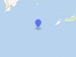
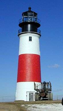
Buzzards Bay Entrance Light is a lighthouse located in open water at the entrance to Buzzards Bay, about four nautical miles west southwest of Cuttyhunk Island, Massachusetts.
1961 Texas Tower | |
 | |

| |
| Location | Buzzards Bay, Massachusetts |
|---|---|
| Coordinates | 41°23′49.12″N 71°2′4.87″W |
| Year first constructed | 1847 (lightships) 1961 (Texas Tower) 1997 (current structure) |
| Automated | 1980 |
| Foundation | Steel piles filled with concrete |
| Construction | Steel |
| Tower shape | Tower, on red square on 3 piles with large tube in center |
| Markings / pattern | Red, with "BUZZARDS" |
| Focal height | 67 feet (20 m) |
| Range | 17 nautical miles (31 km; 20 mi) |
| Characteristic | Fl W 2.5s |
| Fog signal | HORN: 2 every 30s |
| Racon | "B" (Bravo) |
| Admiralty number | J0480 |
| ARLHS number | USA-100 |
| USCG number | 1-630[1][2][3] |
The light has a racon showing the letter "B".[2] The new light tower is similar to the new Ambrose Light built in 1999 but dismantled in 2008 after a ship struck it.
In 1996 the present structure replaced a Texas Tower built in 1961, which in turn had replaced the lightships Hens & Chickens (LV-5) and Vineyard Sound (LV-10). Since it sits in water 50 ft (15m) deep, a conventional lighthouse would have been difficult, forcing the choice of structure.[1]
References
- "Historic Light Station Information and Photography: Massachusetts". United States Coast Guard Historian's Office. Archived from the original on 2017-05-01.
- Light List, Volume I, Atlantic Coast, St. Croix River, Maine to Shrewsbury River, New Jersey (PDF). Light List. United States Coast Guard. 2013. p. 7.
- Rowlett, Russ (2009-12-15). "Lighthouses of the United States: Southeast Massachusetts". The Lighthouse Directory. University of North Carolina at Chapel Hill.
This article is issued from Wikipedia. The text is licensed under Creative Commons - Attribution - Sharealike. Additional terms may apply for the media files.
