Buzhakan
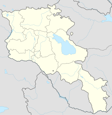
Buzhakan (Armenian: Բուժական), also Romanized as Bujhakan; formerly, Babakishi), is a village in the Kotayk Province of Armenia. It is situated along the eastern foothills of the Tsaghkunyats mountain range, upon a fertile slope. Early settlers of the village began immigrating to the area in 1829 from Bitlis, Artsap, Alashkert, Mush, Sasun, and Khoy. The community has a school, kindergarten, and a library. In a wooded area to the north of Buzhakan is the well-known 10th-14th century Teghenyats Monastery, and to the east of the village are the ruins of a 6th-7th century church.[1][2]
Buzhakan Բուժական | |
|---|---|
 Buzhakan Բուժական | |
| Coordinates: 40°27′19″N 44°31′14″E | |
| Country | Armenia |
| Marz (Province) | Kotayk |
| Founded | 1829 |
| Government | |
| • Mayor | Manvel Davtyan |
| Area | |
| • Total | 39.66 km2 (15.31 sq mi) |
| Elevation | 1,820 m (5,970 ft) |
| Population (2008) | |
| • Total | 1,822 |
| • Density | 46/km2 (120/sq mi) |
| Time zone | UTC+4 ( ) |
Gallery
.JPG) Teghenyats Monastery, 10th-14th c.
Teghenyats Monastery, 10th-14th c.
gollark: That seems vaguely horrific.
gollark: Macron automatically fixes them for you, and then optimizes your code for a 59% speed boost on average.
gollark: Rust will just not let race conditions compile (without unsafe).
gollark: GTech™ processors never actually have race conditions, since they emulate parallelism by context-switching extremely fast on a serial processor.
gollark: Do NOT do this.
See also
References
- "Budjakan (Kotayk)". CAA: Union of Communities of Armenia. Archived from the original on May 6, 2016. Retrieved May 30, 2015.
- Kiesling, Brady; Kojian, Raffi (2005). Rediscovering Armenia: Guide (2nd ed.). Yerevan: Matit Graphic Design Studio. p. 101. ISBN 99941-0-121-8.
- Buzhakan at GEOnet Names Server
- World Gazeteer: Armenia – World-Gazetteer.com
- Report of the results of the 2001 Armenian Census, Statistical Committee of Armenia
Capital: Hrazdan | ||
| Urban communities | 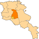 | |
| Rural communities |
| |
| Non-community settlements | ||
This article is issued from Wikipedia. The text is licensed under Creative Commons - Attribution - Sharealike. Additional terms may apply for the media files.