Burton Green
Burton Green is a village and civil parish in the Warwick district, in the county of Warwickshire, England, some 8 km (5.0 mi) southwest of Coventry and 3.5 miles (5.5 km) northwest of Kenilworth (where the population can be found in Abbey Ward). It is mostly residential, surrounded by farmland and has a village hall, a primary school and a pub called the 'Peeping Tom', now a Pub/Restaurant "Hickory's Smokehouse". The civil parish was created from part of Stoneleigh in 2 April 2012.[1]
| Burton Green | |
|---|---|
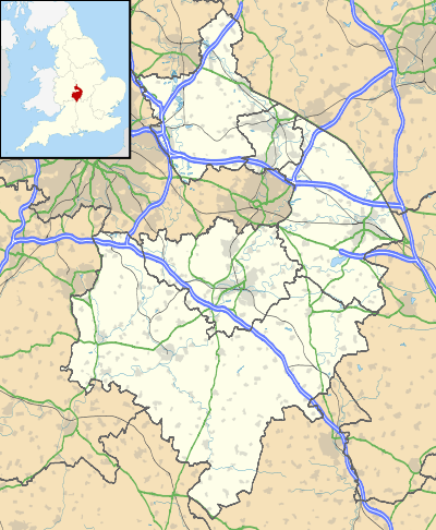
 Burton Green Location within Warwickshire | |
| Civil parish |
|
| District | |
| Shire county | |
| Region | |
| Country | England |
| Sovereign state | United Kingdom |
| Post town | KENILWORTH |
| Postcode district | CV8 |
It is situated directly on the border with Coventry and is contiguous with the city's Tile Hill Village and Westwood Heath districts.
Burton Green comprises four roads: Red Lane, Hob Lane, Hodgetts Lane and Cromwell Lane.
There is a disused water tower off Cromwell Lane, which has now been converted into a private home.[2]
High Speed 2
The route for the proposed high-speed rail line, called High Speed 2, from London to Birmingham will run underneath the centre of Burton Green in a 1.8km tunnel[3], realigning the disused rail route that is currently a Greenway.
References
- "Warwick District Council (Reorganisation of Community Governance) (No 2) Order 2012" (PDF). Lgbce. Archived from the original (PDF) on 17 March 2018. Retrieved 16 March 2018.
- "Top 15 unusual buildings for sale". Daily Telegraph.
- https://hs2inwarwicks.commonplace.is/schemes/proposals/burton-green-tunnel-design-engagement/details