Bukomansimbi
Bukomansimbi is a town in the Central Region of Uganda. It is the chief municipal, administrative, and commercial center of Bukomansimbi District and the site of the district headquarters.
Bukomansimbi | |
|---|---|
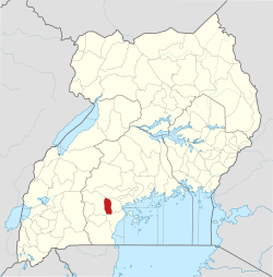
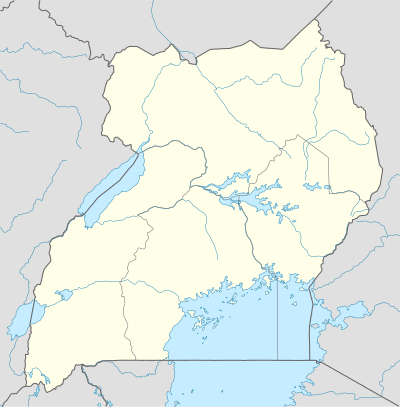 Bukomansimbi Map of Uganda showing the location of Bukomansimbi. | |
| Coordinates: 00°10′00″S 31°37′07″E | |
| Country | |
| Region | Central Uganda |
| District | Bukomansimbi District |
| Elevation | 1,200 m (3,900 ft) |
| Population (2012 Estimate) | |
| • Total | 9,900 |
| Time zone | UTC+3 (EAT) |
Location
Bukomansimbi is on the main highway between Masaka and Sembabule. It is approximately 26 kilometres (16 mi), by road, northwest of Masaka, the largest city in the sub-region.[1] The coordinates of the town are 0°10'00.0"S, 31°37'07.0"E (Latitude:-0.166667; Longitude:31.618600).[2]
Population
As of May 2014, local sources estimated the population of the town as "less than 10,000".[3]
Points of interest
The following additional points of interest lie within the town limits or close to its borders:[3]
- offices of Bukomansimbi Town Council
- Bukomansimbi central market
- Kitanda Health Center III, a health facility administered by the Uganda Ministry of Health
- Masaka-Sembabule road, passing through the western neighborhoods of the town
- Kitoma Light Junior School
- Kabigi Taqwa Islamic School
- Makoomi Yesu Akwagala School
- St. Josephat Meeru Primary School
- Kyakamunya Muslim Primary School
- St. Lawrence School
- St. Kizito School
- Mbaale Ibn Masood School
- Lwamayonza School
- Kakindu Muslim School
- Mukoza Muslim School
- Madera Junior School
- Kidsgear Primary School
- Hoys College
gollark: What data types do you have?
gollark: Unary is totally practical except for negative numbers.
gollark: TROUT
gollark: you cannot escapeTHE TROUT
gollark: It's compiled *to bytecode*.
References
- "Road Distance Between Masaka And Bukomansimbi With Map". Globefeed.com. Retrieved 10 May 2014.
- Google (21 July 2015). "Location of Bukomansimbi At Google Maps" (Map). Google Maps. Google. Retrieved 21 July 2015.
- Watuwa Timbiti, Disms Buregyeya (24 September 2013). "Environment: Bukomansimbi's nightmares". New Vision. Retrieved 21 July 2015.
Capital: Bukomansimbi | ||
| Towns and villages |
|  |
| Economy |
| |
| Health |
| |
| Transport | ||
| Notable people |
| |
This article is issued from Wikipedia. The text is licensed under Creative Commons - Attribution - Sharealike. Additional terms may apply for the media files.