Buccleuch County
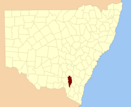
Buccleuch County is one of the 141 Cadastral divisions of New South Wales. It contains the locality of Adjungbilly. The Murrumbidgee River is at the northern boundary, with the Goodradigbee River on the eastern boundary, and the Tumut River on the western boundary. It includes the northern part of the Kosciuszko National Park.
| Buccleuch New South Wales | |||||||||||||||
|---|---|---|---|---|---|---|---|---|---|---|---|---|---|---|---|
 Location in New South Wales | |||||||||||||||
| |||||||||||||||
Buccleuch County was named in honour of the Duke of Buccleuch (1806-1884).[1]
Parishes within this county
A full list of parishes found within this county; their current LGA and mapping coordinates to the approximate centre of each location is as follows:
gollark: We should add blood magic and wireless crafting terminals.
gollark: So Avraitai is not on?
gollark: That is not a config option.
gollark: Set ` B:radiation_enabled=true` to `false`.
gollark: If it is left on, someone will *inevitably* irretrievably irradiate someone's base, mark my words.
References
- "Buccleuch County". Geographical Names Register (GNR) of NSW. Geographical Names Board of New South Wales.

This article is issued from Wikipedia. The text is licensed under Creative Commons - Attribution - Sharealike. Additional terms may apply for the media files.