Botala
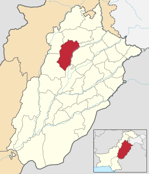
Botala (Urdu: بوتالہ ), is a village and one of the 51 Union Councils of Khushab District in the Punjab Province of Pakistan. It is situated 3.5 km south from the main Mianwali-Lahore road. It is about 12 kilometers distance from district headquarters Jauahrabad and 60 kilometers from divisional headquarters Sargodha.
Botala بوتالہ | |
|---|---|
Village and union council | |
 | |
| Country | Pakistan |
| Region | Punjab Province |
| District | Khushab District |
| Population | |
| • Total | 36,000 |
| Time zone | UTC+5 (PST) |
Areas
- Area: about 10,000 acres (40 km2).
- Sub Areas: Pindi, Jhugi Manday Wali, Handan Wala, Balkian Aala Boad, Neher Pul Jabbi
- Different parts of the agricultural areas of the village: Tapian, Gada Maar, Jhugi Manday Wali, Hadan Wala, Shero, Kamoon
Population
Population is about 36,000.
Geography
The lands of the village are fertile with 98% irrigated areas and 2% desert.
Economy
PICS

Botala, Khushab

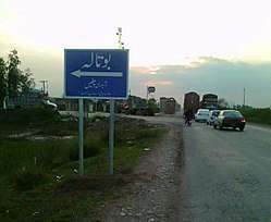
Masjid @ Botala Adda

Hotel @ Botala Adda
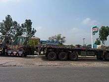
PSO Petrol Pump @ Botala Adda
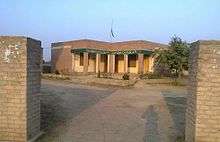
Union Council Botal
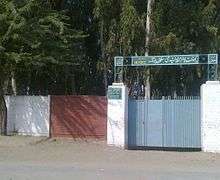
Govt Elementary School for Boys, Botala
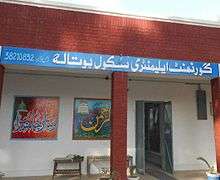
Inside View of Govt Elementary School for Boys, Botala
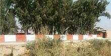
Govt School for Boys, Botala

Govt Elementary School for Girls, Botala
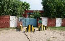
Govt Primary School Pindi, Botala

Head, Botala

Botala Miner Canal

Hadali Miner, Botala

Hamoka Miner Canal

Pahari Near Head, Botala

Location Near Head, Botala

Dera, Botala

Dera
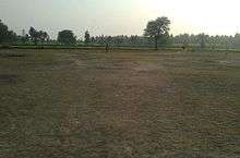
Play Ground Near Graveyard
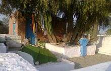
Darbar Baba Qamer Ali, Botala
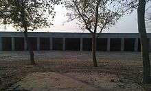
Janaza Gah, Botala
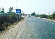
View of Botala Adda

Botala Adda Pic
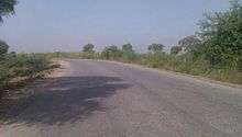
Botala-Hadali Morr
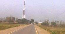
Botala Link Road
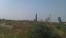
Brick kiln, Botala
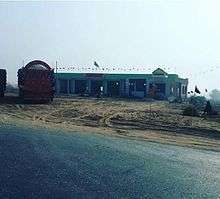
Highway Hotel, Botala
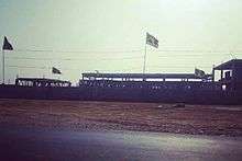
Salt Factory, Botala

Bridge Pindi, Botala
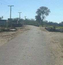
Pindi, Botala
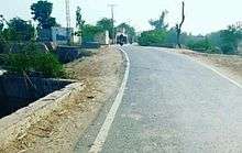
UView of Pindi, Botala
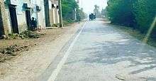
Pindi Botala
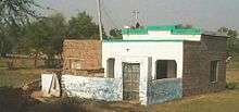
Masid Burhanoo wali, Botala
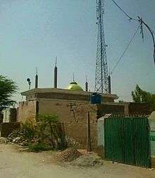
Masjid Faizan e Haq Bahoo, Botala
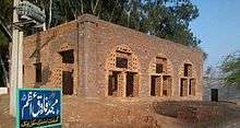
Masjid Farooq e Azam, Botala

Civil Hospital, Botala

Dara Numbardaraan wala, Botala

Volly Ball Match, Botala

Atta Chakki+Arra, Botala

Botala-MT link road

View near Boys School
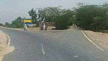
View of Botala link road from MT

Botala Entrance
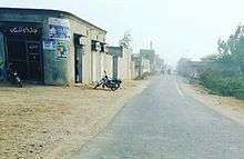
Botala Entrance View

View near Masjid Haq Bahoo

Botala-42 chak road
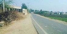
View near Arra
gollark: `local target_location = entity.s + entity.v * (entity.s:length() / 1.5)`
gollark: I did try this, but it doesn't seem to actually work.
gollark: I can read motionX/Y/Z fine but can't get anything to actually work properly.
gollark: Does anyone know how to correctly do motion compensation when firing Plethora lasers at people?
gollark: Does OC not also allow binary mode...?
External links
![]()
This article is issued from Wikipedia. The text is licensed under Creative Commons - Attribution - Sharealike. Additional terms may apply for the media files.
