Boardman Peak
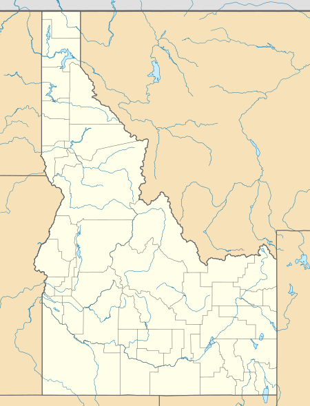
Boardman Peak, at 9,457 feet (2,882 m) high is one of the peaks of the Soldier Mountains of Idaho. Boardman Peak is located at the center of the range southeast of Iron Mountain, northwest of Smoky Dome, and northwest of Fairfield in Camas County and Sawtooth National Forest.[3] No trails go to the summit, but several pass near the peak, and the ascent is only class 2.
| Boardman Peak | |
|---|---|
 Boardman Peak | |
| Highest point | |
| Elevation | 9,457 ft (2,882 m) NAVD 88[1] |
| Prominence | 687 ft (209 m) [2] |
| Coordinates | 43°30′48″N 114°59′43″W [1] |
| Geography | |
| Location | Camas County, Idaho, U.S. |
| Parent range | Soldier Mountains |
| Topo map | USGS Boardman Creek |
| Climbing | |
| Easiest route | Simple Scrambling, class 2 |
Boardman Peak has over 300 feet (91 m) prominence and is west of Boardman Pass.
The northern slopes of Boardman Peak are drained by Boardman Creek, a tributary of the South Fork Boise River, and the south slopes are drained by Salt Log and Bremner Creeks, tributaries of the South Fork of Lime Creek. Boardman Lake, while not directly below the peak, is northwest of the mountain.
References
- "Jumbo Mountain". NGS data sheet. U.S. National Geodetic Survey. Retrieved 2012-04-30.
- Staff. "9467". Lists of John. Retrieved 29 May 2012.
- Sawtooth National Forest. "Sawtooth National Forest" [map].1:126,720, 1"=2 miles. Twin Falls, Idaho: Sawtooth National Forest, United States Forest Service, 1998.
External links
- Fairfield Ranger District trip report
- Sawtooth National Forest - Official Site
- Boardman Peak - Idaho Summits