Bluejay Creek (Pic River tributary)
Bluejay Creek is a river in the east part of Thunder Bay District in northwestern Ontario, Canada. It is in the Lake Superior drainage basin and is a tributary of the Pic River.
| Bluejay Creek | |
|---|---|
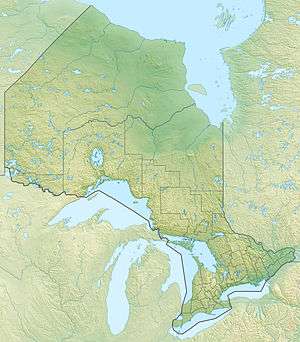 Location of the mouth of Bluejay Creek in Ontario | |
| Location | |
| Country | Canada |
| Province | Ontario |
| Region | Northwestern Ontario |
| District | Thunder Bay |
| Physical characteristics | |
| Source | Unnamed lake |
| • coordinates | 49°32′32″N 86°08′18″W |
| • elevation | 346 m (1,135 ft) |
| Mouth | Pic River |
• coordinates | 49°31′38″N 86°12′30″W |
• elevation | 313 m (1,027 ft) |
| Length | 12 km (7.5 mi) |
Course
The creek begins at an unnamed lake at an elevation of 346 metres (1,135 ft). It flows north from the north end of the lake, then turns southwest and reaches Bluejay Lake. The creek then exits at the southwest of the lake and flows west to reach its mouth at the Pic River at an elevation of 313 metres (1,027 ft), just upstream of the Bigrock Rapids and about 12 kilometres (7 mi) southwest of the community of Caramat.
gollark: I see.
gollark: It mutes and unmutes the microphone via pulseaudio, so it works for stuff like Teams which are bad and do not support PTT.
gollark: Virtually or physically? I have a neat push to talk script (for linux).
gollark: There is not one, unless the nitro thing hides it somehow which would be weird.
gollark: If styro was the owner he would have a crown icon.
See also
References
- "Bluejay Creek". Geographical Names Data Base. Natural Resources Canada. Retrieved 2010-07-29.
- "Topographic Map sheet 42E9". Atlas of Canada. Natural Resources Canada. 2010-02-04. Archived from the original on 2010-08-03. Retrieved 2010-07-29.
This article is issued from Wikipedia. The text is licensed under Creative Commons - Attribution - Sharealike. Additional terms may apply for the media files.