Blaxland County
Blaxland County is one of the 141 Cadastral divisions of New South Wales. It is bounded to the south by the Lachlan River and a small part of Waverley Creek. It includes Mount Hope and the Nombinnie Nature Reserve.
| Blaxland New South Wales | |||||||||||||||
|---|---|---|---|---|---|---|---|---|---|---|---|---|---|---|---|
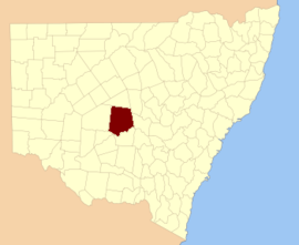 Location in New South Wales | |||||||||||||||
| |||||||||||||||
Blaxland County was named in honour of John Blaxland, landowner and merchant.[1]
Parishes within this county
A full list of parishes found within this county; their current LGA and mapping coordinates to the approximate centre of each location is as follows:
gollark: 18:50:28.
gollark: Backup esobot.
gollark: Not that those exist, hopefully.
gollark: I don't know the secrets of selective applicative functional monadic monoids.
gollark: Er, I'm not very FP-y.
References
- "Blaxland County". Geographical Names Register (GNR) of NSW. Geographical Names Board of New South Wales.

This article is issued from Wikipedia. The text is licensed under Creative Commons - Attribution - Sharealike. Additional terms may apply for the media files.