Bijinapalle
Bijnapalli or Bijinapally is a [Mandal] in Nagar Kurnool district, Telangana.
Bijinapalli Bijinapally | |
|---|---|
mandal | |
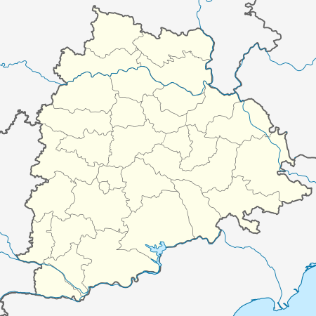 Bijinapalli Location in Telangana, India  Bijinapalli Bijinapalli (India) | |
| Coordinates: 16.5500°N 78.2000°E | |
| Country | |
| State | Telangana |
| District | Nagar Kurnool |
| Elevation | 481 m (1,578 ft) |
| Languages | |
| • Official | Telugu |
| Time zone | UTC+5:30 (IST) |
| Vehicle registration | TS-31 |
| Vidhan Sabha constituency | Nagarkurnool |
| Climate | hot (Köppen) |
Geography
Bijnapalli is located at 16.5500°N 78.2000°E.[1] It has an average elevation of 481 metres (1581 ft).
Institutions
- Zilla Parishad High School for Boys
- Zilla Parishad High School for Girls
- Pragathi Vidyalayam
- Sri Saraswati Vidyaniketan
Villages
The villages in Bijinapalle mandal include:
- Allipur
- Bijinepally
- Gangaram
- Gouraram
- Gudlanarva
- Kanapur
- Karkonda
- Lattupally
- Lingasanipally
- Mahadevpet
- Manganoor
- Mommaipally
- Palem
- Polepally
- Salkarpet
- Shainpally
- Vasanthapur
- Vaddemaan (Nandi Vaddemaan)
- Vattem
- Velgonda
gollark: We can always use more ”””members”””.
gollark: Ooo, a raid? Fun!
gollark: IRC *network*, technically speaking.
gollark: APIONET is bridged to the APIONET IRC server, you know!
gollark: I may have to somehow share code with the reminder system for this.
References
This article is issued from Wikipedia. The text is licensed under Creative Commons - Attribution - Sharealike. Additional terms may apply for the media files.