Bestwood Park
Bestwood Park is a large post-war council estate located to the north of the city of Nottingham, England, and roughly bounded by Beckhampton Road, Oxclose Lane and Queens Bower Road,[2]
| Bestwood Park | |
|---|---|
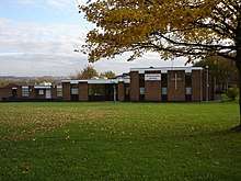
 Bestwood Park Church | |
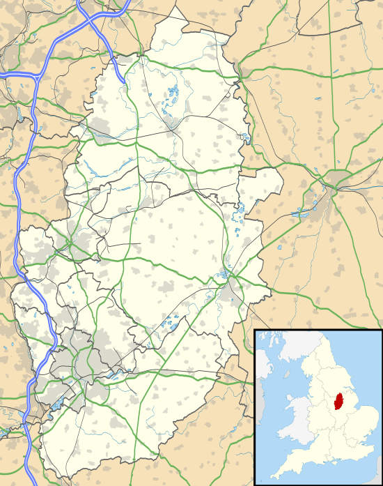
 Bestwood Park Location within Nottinghamshire | |
| Population | 7,196 [1] |
| OS grid reference | SK5656445442 |
| District |
|
| Shire county | |
| Region | |
| Country | England |
| Sovereign state | United Kingdom |
| Post town | NOTTINGHAM |
| Postcode district | NG5 |
| Dialling code | 0115 |
| Police | Nottinghamshire |
| Fire | Nottinghamshire |
| Ambulance | East Midlands |
| UK Parliament | |
Origins
It is distinct from the older Bestwood Estate to the west. Development began during the late 1950s and early 1960s, whereas Bestwood Estate was developed during the 1930s.
Churches
Bestwood Park Church (Beckhampton Road), Infant of Prague Catholic Church (Cherry Orchard Mount), and The Peoples Church (Gladehill Road).
Green Areas
Sandy Banks Local Nature Reserve (LNR), and Glade Hill wood. The latter is on a small hill and so visible from all around. It is erroneously known locally as "Bendigo's Ring" since the original place of this name, in Bestwood Estate, is much less visible.[3]
Cricket ground
Bestwood Park Cricket Ground was a cricket ground laid out in 1867 by William Beauclerk, 10th Duke of St Albans in the Bestwood Park area. It hosted one important match when in 1879 a Nottinghamshire Eleven played the MCC. The ground is now a public recreation area.[4]
Bus Services
Bestwood Park has frequent bus services ran by Nottingham City Council that serve the estate; the main services include the Turquoise 79 service which travels through Beckhampton Road, Chippenham Road and Queen's Bower Road in the direction of Nottingham and Arnold via Bulwell and Rise Park.[5] The Purple 88 serves Chippenham Road and Queen's Bowers Road in the direction of Nottingham, Top Valley and Warren Hill via Sherwood and Edwards Lane[6] and the Purple 89 which serves Beckhampton road in the direction of Nottingham to Rise Park via Sherwood and Edwards Lane.[7]
There are also NCT services that serve Beckhampton Road which run during peak times or offer night services[8][9] as well as a school bus service which serves the estate in the direction of Rise Park and several schools in the Aspley ward.[10] There is also a Shoplink service ran by CT4N which also serves Beckhampton Road in the direction of Bulwell and Mapperley via Arnold.[11]
References
- "Archived copy". Archived from the original on 1 December 2017. Retrieved 25 November 2017.CS1 maint: archived copy as title (link)
- "Nottingham/Bestwood Park". openstreetmap.org. 6 November 2009. Retrieved 20 April 2016.
- Tony Proctor (15 November 2013). "Where is Bendigo's Ring?". Parallax View Blog. Retrieved 20 April 2016.
- Cricket Grounds of Nottinghamshire P Wynne Thomas ACS 1984 p.24-5
- wearebase.com, Base. "Turquoise 79". www.nctx.co.uk. Retrieved 22 June 2019.
- wearebase.com, Base. "Purple 88". www.nctx.co.uk. Retrieved 22 June 2019.
- wearebase.com, Base. "Purple 89". www.nctx.co.uk. Retrieved 22 June 2019.
- wearebase.com, Base. "Purple 89A". www.nctx.co.uk. Retrieved 22 June 2019.
- wearebase.com, Base. "Purple N89". www.nctx.co.uk. Retrieved 22 June 2019.
- wearebase.com, Base. "Grey A2". www.nctx.co.uk. Retrieved 22 June 2019.
- wearebase.com, Base. "CT4N S11" (PDF). www.ct4n.co.uk. Retrieved 22 June 2019.
