Bella Coola Airport
Bella Coola Airport, (IATA: QBC, ICAO: CYBD), is located 6 nautical miles (11 km; 6.9 mi) northeast of Bella Coola, British Columbia, Canada.
Bella Coola Airport | |||||||||||
|---|---|---|---|---|---|---|---|---|---|---|---|
| Summary | |||||||||||
| Airport type | Private | ||||||||||
| Operator | Central Coast Regional District | ||||||||||
| Location | Bella Coola, British Columbia | ||||||||||
| Time zone | PST (UTC−08:00) | ||||||||||
| • Summer (DST) | PDT (UTC−07:00) | ||||||||||
| Elevation AMSL | 117 ft / 36 m | ||||||||||
| Coordinates | 52°23′15″N 126°35′45″W | ||||||||||
| Map | |||||||||||
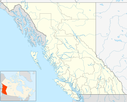 CYBD Location in British Columbia | |||||||||||
| Runways | |||||||||||
| |||||||||||
This airport is limited to Day/VFR operations. Weather reports are available most days until 3PM local time by contacting Kamloops Flight Service (Nav Canada).
Airlines and destinations
| Airlines | Destinations |
|---|---|
| Pacific Coastal Airlines | Anahim Lake, Vancouver |
gollark: Programming: it's quite hard™.
gollark: Being on fire sounds unpleasant.
gollark: They can probably just quash anyone who complains with their large legal department.
gollark: They could probably have pulled a picture of "destroyed screen" or whatever off the internet, though.
gollark: Fun idea: a program to *simulate* cracked/punched screens.
References
- Canada Flight Supplement. Effective 0901Z 16 July 2020 to 0901Z 10 September 2020.
- Synoptic/Metstat Station Information Archived June 27, 2013, at the Wayback Machine
External links
- Page about this airport on COPA's Places to Fly airport directory
- Accident history for QBC at Aviation Safety Network
- Past three hours METARs, SPECI and current TAFs for Bella Coola Airport from Nav Canada as available.
| By name | |
|---|---|
| By location indicator | |
| By province/territory | |
| By area | |
| National Airports System | |
| Related | |
| |
This article is issued from Wikipedia. The text is licensed under Creative Commons - Attribution - Sharealike. Additional terms may apply for the media files.