Beacon Island (Houtman Abrolhos)
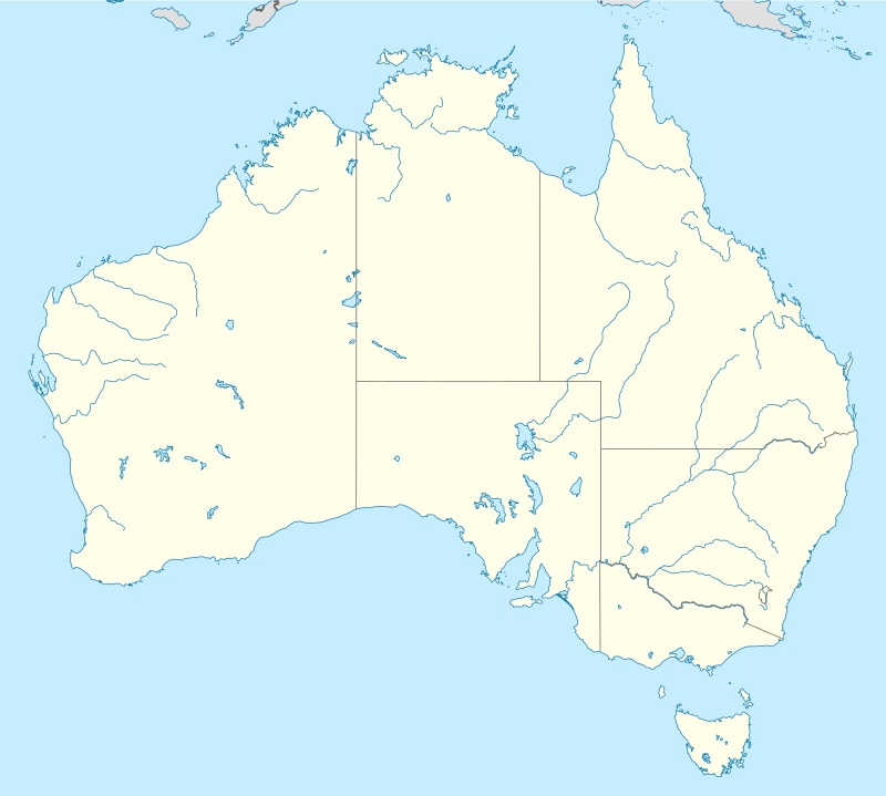
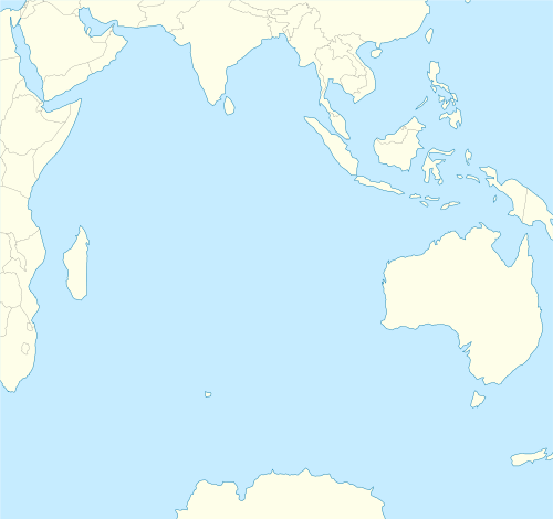
Beacon Island, also known as Batavia's graveyard,[1] is an island on the eastern side of the Wallabi Group at the northern end of the Houtman Abrolhos, in the Indian Ocean, off the coast of Western Australia.
 Beacon Island  Beacon Island | |
| Geography | |
|---|---|
| Location |
|
| Coordinates | 28°28′31″S 113°47′09″E |
| Archipelago | Houtman Abrolhos |
| Area | 5.25[1] ha (13.0 acres) |
| Length | 350 m (1,150 ft) |
| Coastline | 1,050 m (3,440 ft) |
| Highest elevation | 2 m (7 ft) |
| Administration | |
Australia | |
| State | Western Australia |
| Demographics | |
| Population | Uninhabited |
| Additional information | |
| Time zone | |
Site of Batavia massacre | |
Description
The J-shaped coral island has an area of 5.25 hectares (13.0 acres),[1] length of approximately 350 metres (1,150 ft), with approximately 1.05 kilometres (0.65 mi) of shoreline.[lower-alpha 1] The island has a low elevation, mostly less than two metres (6 ft 7 in), and is part of the Morning Reef complex composed of coral shingle. The surface is mostly sandy but has some pockets of guano and some exposed coral.[1]
History
The island is best known as the location of the Batavia wreck and mutiny. Batavia was wrecked on Morning Reef in June 1629. Most of the 316 passengers and crew were washed ashore on the smaller islands on the eastern side of the Wallabi Group. The commander, Francisco Pelsaert, and 47 other crew and passengers set off in one the longboats in search of water but ended up sailing to Indonesia.
When Pelsaert returned to the Abrolhos he found that Batavia's under-merchant, Jeronimus Cornelisz, had recruited other men from the survivors and then killed 125 of the other survivors. The mutineers camped on Beacon Island, and many of the victims were buried there.[2]
The island, along with the rest of the Abrolhos, was likely visited by sealers and guano miners through the 19th century. In 1877 survivors of the Hadda shipwreck lived on the island for five days. Crayfisherman arrived on the island sometime afterward and established several galvanised iron and asbestos shacks along with sheds for gear on four main sites.[1] The first archaeological excavations were conducted in the 1960s and 1970s, with the Western Australian Museum conducting excavations in 1992.[1]
There are two government buildings on the island; both were once utilised to support archaeological work and operations for the various Batavia sites. A public toilet for visitors is also found on the island. The island is on the National Heritage list[3] due to it being the site to the Batavia shipwreck.[2]
Birds
The island is part of the Houtman Abrolhos Important Bird Area, identified as such by BirdLife International because it supports large numbers of breeding seabirds.[4] Birds that are found on the island include the wedge-tailed shearwater, which nests on the island between November and May.[1]
Notes
- Measurements taken from Google Earth on 20 April 2019.
References
- Gibbs, Martin (May 1992). Batavia's Graveyard – A report on archaeological survey and excavations on Beacon Island, Wallabi Group, Houtman Abrolhos, Western Australia (PDF). Report – Department of Maritime Archaeology (Report). Western Australian Museum. Retrieved 9 March 2020.
- Exploring the Houtman Abrolhos Islands (PDF). Fisheries Occasional Publication. Perth: Department of Fisheries. 2012. ISBN 9781921845345. ISSN 0819-4327. Archived (PDF) from the original on 21 April 2013. Retrieved 9 March 2020.
- "Batavia Shipwreck Site and Survivor Camps Area 1629 - Houtman Abrolhos, Wallabi Group via Houtman Abrolhos, WA, Australia". Department of Agriculture, Water and the Environment. Commonwealth of Australia. 9 March 2020. Retrieved 9 March 2020.
- "Important Bird Areas factsheet: Houtman Abrolhos". BirdLife International. 2020. Retrieved 9 March 2020.