Bay View, New Zealand
Bay View is a settlement in the Hawke's Bay region of the eastern North Island of New Zealand. It lies on State Highway 2, nine kilometres north of the city centre of Napier. The Esk River flows into the sea just to the north. Hawke's Bay Airport and the Napier suburb of Westshore lie just to the south. Bay View has been administered by the Napier City Council since the 1989 local government reforms.[1]
Bay View | |
|---|---|
 Bay View | |
| Coordinates: 39°25′S 176°53′E | |
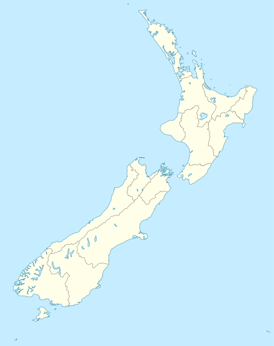
| Country | New Zealand |
| Region | Hawke's Bay |
| Territorial authority | Napier City |
William Colenso of the Church Missionary Society established a mission outstation named Bethany here. Māori transliterated Bethany as Pētane and this became the name of the area.[1] Pētane was seized by Maori in the early 1860s with the idea of attacking Napier.[2] The name of the area was changed to Bay View in 1924 to avoid confusion with Petone in the Wellington region.[1]
Marae
Petane Marae is located in Bay View. It is a meeting ground for the iwi (tribe) of Ngāti Kahungunu and its hapū (sub-tribes) of Ngāti Matepu and Ngāti Whakaari, and includes the wharenui (meeting house) of Te Amiki.[3][4]
References
- "Coastal Hazards Social Impact Assessment & Valuation for Ahuriri/Pandora, Westshore, Bay View and Whirinaki" (PDF). 2017. p. 16. Retrieved 2 January 2020.
- The Cyclopedia of New Zealand Taranaki, Hawke's Bay & Wellington Provincial Districts. Christchurch: Printed Horace J. Weeks, Ltd. 1908.
- "Te Kāhui Māngai directory". tkm.govt.nz. Te Puni Kōkiri.
- "Māori Maps". maorimaps.com. Te Potiki National Trust.