Baulu Taung
Baulu Taung is a mountain of the Tenasserim Hills, Burma.[2]
| Baulu Taung | |
|---|---|
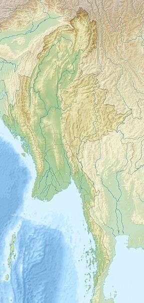 Baulu Taung Location in Burma | |
| Highest point | |
| Elevation | 992 m (3,255 ft) [1] |
| Coordinates | 12°57′39″N 99°6′7″E [1] |
| Geography | |
| Location | Tanintharyi Region, Myanmar |
| Parent range | Bilauktaung, Tenasserim Hills |
| Climbing | |
| First ascent | unknown |
| Easiest route | climb |
Geography
Baulu Taung is located southeast of Myinmoletkat Taung, the main Bilauktaung peak, in a wooded and largely uninhabited area of the Tanintharyi Region, 9 km to the west of the border with Thailand.[1] The nearest inhabited place is Dathwekyauk, a riverside village located roughly 15 km to the WNW.[2]
gollark: HAHAHAHAHAHA
gollark: The power of yet™.
gollark: Heavserver has the same alt set.
gollark: Basically.
gollark: They were in denial anyway, and they're disposable alts.
See also
- List of mountains in Burma
This article is issued from Wikipedia. The text is licensed under Creative Commons - Attribution - Sharealike. Additional terms may apply for the media files.