Myinmoletkat Taung
Myinmoletkat Taung is the highest mountain of the Bilauktaung, Tenasserim Hills, Burma.
| Myinmoletkat Taung | |
|---|---|
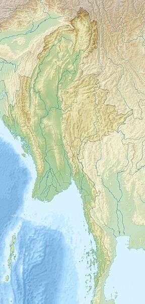 Myinmoletkat Taung Location in Burma | |
| Highest point | |
| Elevation | 2,072 m (6,798 ft) [1] |
| Prominence | 1,857 m (6,093 ft) |
| Listing | Ultra |
| Coordinates | 13°28′00″N 98°48′00″E |
| Geography | |
| Location | Tanintharyi Region, Myanmar |
| Parent range | Tenasserim Hills |
| Climbing | |
| First ascent | unknown |
| Easiest route | climb |
Geography
It is located in the Tanintharyi Region, 15 km to the southeast of Myinmoletkat village, 42 km west from the border with Thailand.[2]
With a height of 2,072 m and a prominence of 1,857 m, Myinmoletkat Taung is one of the ultra prominent peaks of Southeast Asia.[3]
gollark: This *is* perfect and without flaw.
gollark: Pagination is work, see.
gollark: You can't verify what's running on my server thus no.
gollark: I can just not merge your changes, see.
gollark: Really? Wow.
See also
- List of Ultras of Southeast Asia
- List of mountains in Burma
References
- Peaklist - 19 Mountain Summits with Prominence of 1,500 meters or greater Retrieved 29 December 2011
- GoogleEarth
- Myinmoletkat Taung (mountain) - Region: Shan State, Myanmar
External links
This article is issued from Wikipedia. The text is licensed under Creative Commons - Attribution - Sharealike. Additional terms may apply for the media files.