Bagame
Bagame is a settlement in Ziguinchor Department in Ziguinchor Region in the Basse Casamance area of south-west Senegal, near the border with Guinea-Bissau[1] The population in the 2002 census was 109 people in 15 households. [2]
Bagame | |
|---|---|
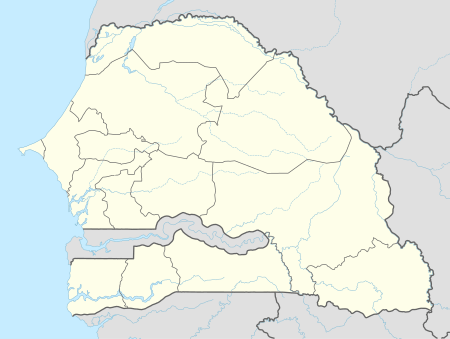 Bagame Location in Senegal | |
| Coordinates: 12°24′37″N 16°18′58″W | |
| Country | |
| Region | Ziguinchor |
| Department | Ziguinchor |
| Arrondissement | Nyassia |
| Rural community | Nyassia |
| Population (2002) | |
| • Total | 109 |
| Time zone | UTC+0 (GMT) |
Climate
Bagame has a warm climate for relatively the entire year with the wet months occurring during the summer months and peaking in August.[3]
Resources
"Bagame Monthly Climate Average, Senegal." Bagame, Senegal Weather Averages. N.p., n.d. Web. 11 Dec. 2015.[3]
"Bagame Map — Satellite Images of Bagame." Bagame Map. N.p., 2005. Web. 11 Dec. 2015.[1]
gollark: But two URLs with the "same host" probably won't hash to the same thing.
gollark: It's perfectly valid for a server to do different things based on Host header.
gollark: It's perfectly valid for a server to do different things based on Host header.
gollark: `equals` should probably never do a slow and side-effectful DNS query, this is probably incompatible with hashing and ordering and whatever, and it isn't even right!
gollark: On so many levels.
References
- "Bagame Map | Senegal Google Satellite Maps". www.maplandia.com. Retrieved 2015-12-11.
- "Communauté rurale de Niassia". PEPAM. Archived from the original on 6 March 2016. Retrieved 19 November 2016.
- "Bagame, Senegal Weather Averages | Monthly Average High and Low Temperature | Average Precipitation and Rainfall days | World Weather Online". www.worldweatheronline.com. Retrieved 2015-12-11.
This article is issued from Wikipedia. The text is licensed under Creative Commons - Attribution - Sharealike. Additional terms may apply for the media files.