Atsumi Peninsula
Atsumi Peninsula (渥美半島, Atsumi Hantō) is a peninsula in southern Aichi Prefecture, central Honshū, Japan. It has an approximate length of 50 kilometres (31 mi) east-west, separating Mikawa Bay (to the north) from the Philippine Sea to the south, with Ise Bay lying to its west.[1] It faces the Chita Peninsula, to the northwest, across the entrance to Mikawa Bay. It has a width ranging from 5 kilometres (3.1 mi) to 8 kilometres (5.0 mi), and its highest point is 328 metres (1,076 ft). Its total area is approximately 200 square kilometers.
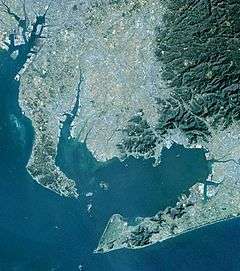
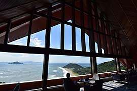
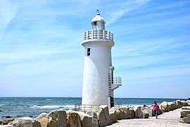
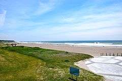
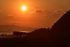
Atsumi Peninsula is noted for its temperate climate, due to the warm Kuroshio Current offshore.[1] The rock formations at Cape Irago, its western tip, and its beaches are part of the Mikawa Wan Quasi-National Park.[1] Administratively, almost all of the peninsula falls within the city of Tahara, with its eastern "neck" within the city of Toyohashi.[1]
References
- "田原市の位置と自然条件" [Location and natural conditions of Tahara city] (in Japanese). Tahara City. 11 September 2015. Retrieved 9 September 2016.
- Japan:An Illustrated Encyclopedia. Kodansha (1993) ISBN 4-06-205938-X
| Authority control |
|
|---|