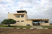
Artigas Airport
Artigas International Airport (IATA: ATI, ICAO: SUAG) is an airport serving Artigas, capital of the Artigas Province of Uruguay. The airport is 2 kilometres (1 mi) west of the city, and is close to the border with Brazil.
Artigas International Airport Aeropuerto Internacional de Artigas | |||||||||||||||
|---|---|---|---|---|---|---|---|---|---|---|---|---|---|---|---|
 | |||||||||||||||
| Summary | |||||||||||||||
| Airport type | Public | ||||||||||||||
| Serves | Artigas, Uruguay | ||||||||||||||
| Elevation AMSL | 410 ft / 125 m | ||||||||||||||
| Coordinates | 30°24′03″S 56°30′30″W | ||||||||||||||
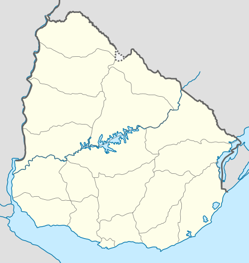
| Map | |||||||||||||||
 ATI Location in Uruguay | |||||||||||||||
| Runways | |||||||||||||||
| |||||||||||||||
The airport was opened in November 1973.
The Artigas non-directional beacon (Ident: AT) is located 0.7 nautical miles (1 km) off the threshold of Runway 29. The Monte Caseros VOR-DME (Ident: MCS) is located 59.1 nautical miles (109 km) west of the airport.[4][5]
Accidents and incidents
- 10 February 1978: a TAMU Douglas C-47A 75-DL registration CX-BJH/T511 flying from Artigas to Montevideo crashed shortly after take-off from Artigas on a domestic scheduled passenger flight. All 44 people on board, comprising 38 passengers and 6 crew, were killed, making this the second-worst crash involving a DC-3 (or derivative), and the worst aviation accident in Uruguay at the time.[6] The airframe in question had first flown in 1943, and was damaged beyond repair in the accident.
gollark: That would be mean so they can't.
gollark: I worry that one day someone will become annoyed by incdec and assemble a vast botnet of compromised IoT devices to send increment and decrement commands unreasonably fast and saturate my internet connection.
gollark: I suppose it'd work for a bit.
gollark: Most people are on dynamic IPs.
gollark: That happened accidentally when a restart occurred I think?
See also


- Transport in Uruguay
- List of airports in Uruguay
References
- Airport information for Artigas Airport at Great Circle Mapper.
- "Artigas Airport". Google Maps. Google. Retrieved 21 February 2019.
- "Artigas Airport". SkyVector. Retrieved 21 February 2019.
- "Monte Caseros VOR". Our Airports. Retrieved 21 February 2019.
- "Artigas NDB". Our Airports. Retrieved 21 February 2019.
- "Accident description CX-BJH/T511". Aviation Safety Network. Retrieved 1 August 2010.
External links
- OpenStreetMap - Artigas
- OurAirports - Artigas Airport
- Current weather for Artigas, Uruguay at NOAA/NWS
- Accident history for ATI at Aviation Safety Network
This article is issued from Wikipedia. The text is licensed under Creative Commons - Attribution - Sharealike. Additional terms may apply for the media files.