Arredondo, Cantabria
Arredondo (Arredondu incantabrian) is a municipality located in the autonomous community of Cantabria, Spain. According to the 2007 census, the city has a population of 569 inhabitants.
Arredondo | |
|---|---|
 Asón River in Arredondo | |
 Flag .svg.png) Coat of arms | |
_Mapa.svg.png) | |
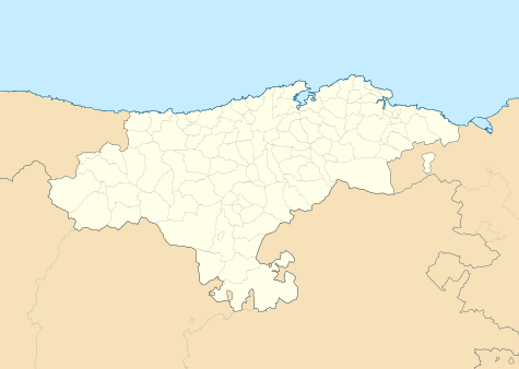 Arredondo Location within Cantabria 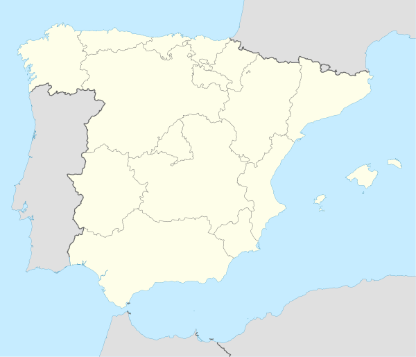 Arredondo Arredondo (Spain) | |
| Coordinates: 43°16′33″N 3°36′2″W | |
| Country | |
| Autonomous community | |
| Province | |
| Comarca | Asón valley |
| Judicial district | Laredo |
| Capital | Arredondo |
| Government | |
| • Alcalde | Luis Alberto Santander Peral (2007) (PRC) |
| Area | |
| • Total | 46.83 km2 (18.08 sq mi) |
| Elevation | 161 m (528 ft) |
| Population (2018)[1] | |
| • Total | 470 |
| • Density | 10/km2 (26/sq mi) |
| Time zone | UTC+1 (CET) |
| • Summer (DST) | UTC+2 (CEST) |
| Postal code | 39813 |
| Website | Official website |
Towns
- Alisas(Alisas)
- Arredondo (Capital)(Arredondu)
- Asón(Asón)
- El Avellanal(L'Avenllanal)
- La Iglesia(La Ilesia)
- Rocías(Rocías)
- La Roza(La Roza)
- Socueva(Socueva)
- Tabladillo(Tabladillu)
- Val del Asón(Valdasón or Val d'Asón)
gollark: We're connected to Heavserver #omega-quarantine now.
gollark: You just send messages and it relays them back and forward.
gollark: Two, even.
gollark: Well, it's already connected to another place.
gollark: ++help tele
References
- Municipal Register of Spain 2018. National Statistics Institute.
External links

Access to Water Cave, in the municipality of Arredondo.

Caving in the Cave of Coventosa, in the municipality of Arredondo.
| Authority control |
|
|---|
This article is issued from Wikipedia. The text is licensed under Creative Commons - Attribution - Sharealike. Additional terms may apply for the media files.