Arkha, Nepal
Arkha is a Village Development Committee in Pyuthan, a Middle Hills district of Rapti Zone, western Nepal.
Arkha अर्खा | |
|---|---|
Village Development Committee | |
 Arkha | |
| Coordinates: 28.27°N 83.07°E | |
| Country | |
| Region | Mid-Western |
| Zone | Rapti Zone |
| District | Pyuthan District |
| VDC | Arkha |
| Population (2001 Census[1]) | |
| • Total | 3,331 |
| 581 households | |
| Time zone | UTC+5:45 (Nepal Time) |
Villages in VDC
| Ward | Lat. | Lon | Elev. | ||
|---|---|---|---|---|---|
| Artubang | अर्टुबाङ | 9 | 28°15'N | 83°02'E | 1,625m |
| Banyachaur | बाँयचौर | 28°16'N | 83°04'E | 1,670 | |
| Bas | बास | 28°17'N | 83°04'E | 2,058 | |
| Besiban | बेसिबन | 28°16'N | 83°04'E | 1,788 | |
| Bhande Khoriya | भाँडे खोरिया | 28°15'N | 83°04'E | 2,030 | |
| Bhulke | भुल्के | 28°15'N | 83°05'E | 2,199 | |
| Damremela | दाम्रेमेला | 28°15'N | 83°05'E | 2,120 | |
| Dandagaun | डाँडागाउँ | 28°16'N | 83°04'E | 1,790 | |
| Dhungmang | ढुङमाङ | 28°16'N | 83°05'E | 2,031 | |
| Galangchhang | गलाङछाङ | 28°15'N | 83°04'E | 1,858 | |
| Harji | हर्जी | 28°16'N | 83°05'E | 2,145 | |
| Lamadanda | लामाडाँडा | 28°16'N | 83°03'E | 1,540 | |
| Lamagaun | लामागाउँ | 28°15'N | 83°03'E | 1,890 | |
| Lekhachhar | लेखाछार | 28°17'N | 83°03'E | 2,170 | |
| Lujbang | लुजबाङ | 28°17'N | 83°03'E | 1,750 | |
| Majuwa | मजुवा | 28°16'N | 83°03'E | 1,470 | |
| Mathillo sungure | माथिल्लो सुङ्गुरे | 28°17'N | 83°05'E | 2,270 | |
| Painyapata | पैंयापाटा | 6 | 28°16'N | 83°04'E | 1,670 |
| Patal | पातल | 28°15'N | 83°03'E | 2125 | |
| Pokhari Bhitta | पोखरी भिट्टा | 28°15'N | 83°03'E | 1,975 | |
| Rangjung | राङजुङ | 28°15'N | 83°05'E | 1,965 | |
| Sagbari | सागबारी | 28°16'N | 83°05'E | 1,942 | |
| Saura | सौरा | 28°16'N | 83°03'E | 1,530 | |
| Sebini | सेबिनी | 28°15'N | 83°03'E | 2,070 | |
| Sokhu | सोखु | 28°17'N | 83°05'E | 2,021 | |
| Sungure | सुङ्गुरे | 28°16'N | 83°04'E | 1,750 | |
| Thatrapatal | थात्रापातल | 28°15'N | 83°03'E | 1,818 | |
| Thula Kharka | ठूला खर्क | 28°15'N | 83°02'E | 1,290 | |
| Thulo Chaur | ठूलो चौर | 1 | 28°17'N | 83°04'E | 1,670 |
gollark: But if you just stick time zones down arbitrary lines, you will split up countries which *could* be one time zone.
gollark: No.
gollark: <@!529362061658947584> Because uniform rectangles lead to problems like different time zones applying in the middle of countries on some arbitrary line.
gollark: yes
gollark: utilize the javascripts™
References
- "Nepal Census 2001". Nepal's Village Development Committees. Digital Himalaya. Archived from the original on 12 October 2008. Retrieved 21 September 2008.
- "Index of Geographical Names of Nepal, Volume IV: Mid Western Development Region, List of Settlements, Pyuthan" (PDF). Government of Nepal, National Geographic Information Infrastructure Program. Archived from the original (PDF) on 2011-07-24. Retrieved 2011-03-12.
External links
Arkha
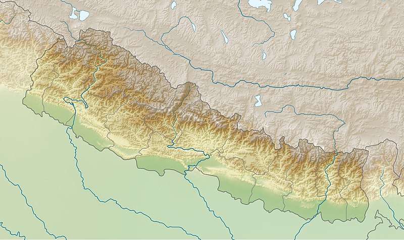
Location of Arkha VDC, Pyuthan District, Rapti Zone
This article is issued from Wikipedia. The text is licensed under Creative Commons - Attribution - Sharealike. Additional terms may apply for the media files.