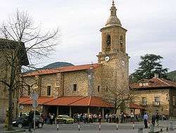
Aretxabaleta
Aretxabaleta is a town in the province of Gipuzkoa, in the Autonomous Community of Basque Country, northern Spain.
Aretxabaleta | |
|---|---|
 | |
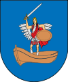 Coat of arms | |
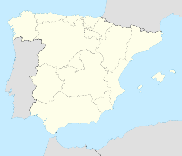 Aretxabaleta Location in Spain | |
| Coordinates: 43°2′10″N 2°30′16″W | |
| Country | |
| Autonomous community | |
| Province | Gipuzkoa |
| Comarca | Debagoiena |
| Area | |
| • Total | 29.13 km2 (11.25 sq mi) |
| Elevation | 260 m (850 ft) |
| Population (2018)[1] | |
| • Total | 6,987 |
| • Density | 240/km2 (620/sq mi) |
| Time zone | UTC+1 (CET) |
| • Summer (DST) | UTC+2 (CEST) |
| Postal code | 20550 |
| Dialing code | 34 (Spain) + 943 (Gipuzkoa) |
| Website | Official website |
It is located on the Bergara road, almost adjacent to its larger northern neighbor, the city of Arrasate, and the smaller Eskoriatza to the south.
The place name
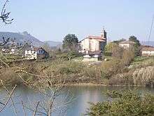
Aozaratza quarter
In the past, the Basque name "Aretxabaleta" was commonly used, both in Spanish and in English[2] with the Spanish spelling, Arechavaleta. The local government (ayuntamiento) decided to officially change the spelling to the Basque "Aretxabaleta" on June 4, 1979. Their decision was authorized by Spanish central government on March 3, 1981.[3]
gollark: Probably more like 1 and a bit, but yes.
gollark: I see a few 4d19h eggs in it.
gollark: How long until it arrives?
gollark: ?
gollark: I'm interested in hatchlings due to my lack of egg slots.
References
- Municipal Register of Spain 2018. National Statistics Institute.
- See e.g. a number of Spain travel guides in English published in the 19th century. Some of them can be found on Google Books by entering the Spanish names of this town and its neighbor, Arechavaleta Mondragon, in the search box (thus avoiding the hits in non-geographic context)
- Euskal Herriko / Boletin Oficial del Pais Vasco. May 11, 1981. Pp. 796-797.
External links
| Wikimedia Commons has media related to Aretxabaleta. |
- Official Website Information available in Spanish and Basque.
- ARETXABALETA in the Bernardo Estornés Lasa - Auñamendi Encyclopedia (Euskomedia Fundazioa) Information available in Spanish
| Authority control |
|
|---|
This article is issued from Wikipedia. The text is licensed under Creative Commons - Attribution - Sharealike. Additional terms may apply for the media files.