Archertown, New Jersey
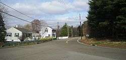
Archertown is an unincorporated community located within Plumsted Township in Ocean County, New Jersey, United States.[2] The community is located about halfway between New Egypt and County Route 539 along County Route 640 in an area made up of mostly farmland and vineyards.[3]
Archertown, New Jersey | |
|---|---|
 | |
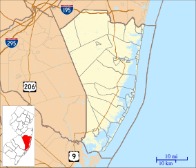 Archertown, New Jersey Archertown's location in Ocean County (Inset: Ocean County in New Jersey) 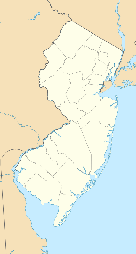 Archertown, New Jersey Archertown, New Jersey (New Jersey)  Archertown, New Jersey Archertown, New Jersey (the United States) | |
| Coordinates: 40°03′55″N 74°30′00″W | |
| Country | |
| State | |
| County | Ocean |
| Township | Plumsted |
| Elevation | 37 m (121 ft) |
| Time zone | UTC-5 (Eastern (EST)) |
| • Summer (DST) | UTC-4 (EDT) |
| GNIS feature ID | 874369[1] |
References
- U.S. Geological Survey Geographic Names Information System: Archertown, New Jersey
- Locality Search Archived 2016-07-09 at the Wayback Machine, State of New Jersey. Accessed June 9, 2016.
- Google (March 31, 2016). "Aerial view of Archertown" (Map). Google Maps. Google. Retrieved March 31, 2016.
This article is issued from Wikipedia. The text is licensed under Creative Commons - Attribution - Sharealike. Additional terms may apply for the media files.