Ano Ichirizuka
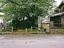
The Ano Ichirizuka (阿野一里塚) is a pair of Japanese distance markers akin to a milestone, consisting of two earthen mounds flanking the route of the old Tōkaidō highway located in in what is now part of the city of Toyoake, Aichi Prefecture in the Tōkai region of Japan. It was designated a National Historic Site of Japan in 1936.[1]
阿野一里塚 | |
 Ano Ichirizuka | |
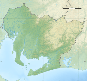 Ano Ichirizuka 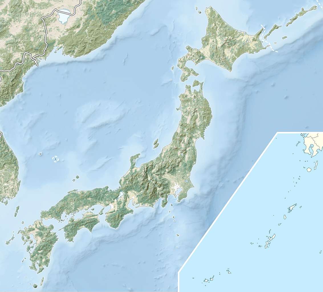 Ano Ichirizuka (Japan) | |
| Location | Toyoake, Aichi, Japan |
|---|---|
| Region | Tōkai region |
| Coordinates | 35°02′52″N 137°00′12″E |
| History | |
| Periods | Edo period |
| Site notes | |
| Ownership | National Historic Site |
| Public access | Yes |
Overview
During the Edo period Tokugawa shogunate established ichirizuka on major roads, enabling calculation both of distance travelled and of the charge for transportation by kago or palanquin.[2] These mounds, denoted the distance in ri (3.927 kilometres (2.440 mi)) to Nihonbashi, the "Bridge of Japan", erected in Edo in 1603.[3]
In the case of the Ano ichirizuka, the mounds flank the Tōkaidō, the main highway connecting Edo with Kyoto and are located between Chiryū-juku in Mikawa Province and Narumi-juku in Owari Province. This ichirizuka was the 86th marker from Nihonbashi, and is a rare case on the Tōkaidō where both of the mounds have survived.
References
- "阿野一里塚" [Ano Ichirizuka] (in Japanese). Agency for Cultural Affairs.
- "Tokyo Cultural Properties Database: Nishigahara Ichirizuka". Tokyo Metropolitan Government. Retrieved 3 July 2012.
- Nenzi, Laura (2008). Excursions in Identity: Travel and the Intersection of Place, Gender, and Status in Edo Japan. University of Hawaii Press. pp. 21–22. ISBN 978-0-824-83117-2.