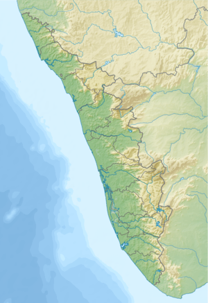
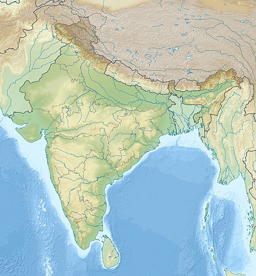
Anjarakandi River
The Anjarakandi River (ml:അഞ്ചരക്കണ്ടി പുഴ) is one of two major rivers that flow through the Kannur District of Kerala, India. The river originates from the bottom of Kutimalai in the protected forest areas of Kannur district. It travels for 48 km and flowing in west direction[1][2]. The river starting from Kutimalai, a small spring flows through Perumbupattu, about four kilometers into the forest. The river then collapses at 60 meters. Around 14 km again flows through the forest. It then goes to the locality near the village of Doda.
| Anjarakandi River | |
|---|---|
 Anjarakandi River | |
  | |
| Location | |
| Country | India |
| Physical characteristics | |
| Source | |
| • location | Mattannur |
| Mouth | |
• location | Muzhappilangad in Arabian Sea |
• coordinates | 11°46′42″N 75°27′18″E |
| Length | 48 km (30 mi) |
Name
The river Anjarakandy is flowing through the Anjarakandy village of Kannur district.[3] This place is prominent for its Cinnamon estate.
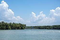
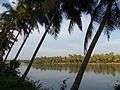
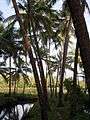
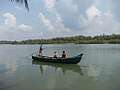
Photos of Anjarakandi River

- Basin
gollark: Like ramda.
gollark: Not too unreasonable, but USE OTHER LIBRARIES YOU IDIOT.
gollark: RUST
gollark: Unfortunately JS devs love their "OOP".
gollark: Yes, that is the correct way.
References
| Wikimedia Commons has media related to Anjarakkandy. |
This article is issued from Wikipedia. The text is licensed under Creative Commons - Attribution - Sharealike. Additional terms may apply for the media files.