Amrabad
Amrabad is a Mandal in Nagarkurnool district, Telangana It is the largest mandal in the district area-wise, but population density is less. Large portions of the mandal is occupied by Nallamala forests. Amrabad also served as the headquarters of the taluka before separate mandals were formed. It is inhabited by tribal population, mostly Chenchus.[1][2]
Amrabad | |
|---|---|
Mandal | |
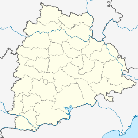 Amrabad Location in Telangana, India  Amrabad Amrabad (India) | |
| Coordinates: 16.3833°N 78.8333°E | |
| Country | |
| State | Telangana |
| District | Nagarkurnool district |
| Elevation | 576 m (1,890 ft) |
| Languages | |
| • Official | Telugu |
| Time zone | UTC+5:30 (IST) |
| Vehicle registration | TS06 |
| Vidhan Sabha constituency | Achampet |
| Climate | cool (Köppen) |
| Website | nagarkurnool |
Geography
Amrabad is located at 16.3833°N 78.8333°E.[3] Amrabad plateau is highly hilly region covered with dense forests and high grass.[4] The nearest town to Amrabad is Achampet, Nagarkurnool District
Demography
According to The Imperial Gazetteer of India,[5] Amrabad in 1901 was a taluk in Mahbubnagar district of Hyderabad State. It had an area of 727 square miles. The population was 20,880 compared with 19,601 in 1891. The headquarters Amrabad has a population of 2,267. It is situated on a Plateau, contains a large forest area and surrounded by hills.
Transportation
The national highway from Mahbubnagar to Kurnool, Achampeta to Srisailam passes through Amrabad. Having rivers on the 3 sides, and a lack of bridges there are not adequate connectivity to other districts.
References
- Development of primitive tribal groups in India by P.K.Mohanty.
- "Mandal&Villages – THE OFFICIAL WEBSITE OF NAGARKURNOOL DISTRICT". Retrieved 28 June 2020.
- -Amrabad at Fallingrain.com
- Amrabad in Indian Minerals, Geological Survey of India, 1971, page: 9.
- Amrabad in The Imperial Gazetteer of India, vol 5, pp: 306-7.