Alsen, Louisiana
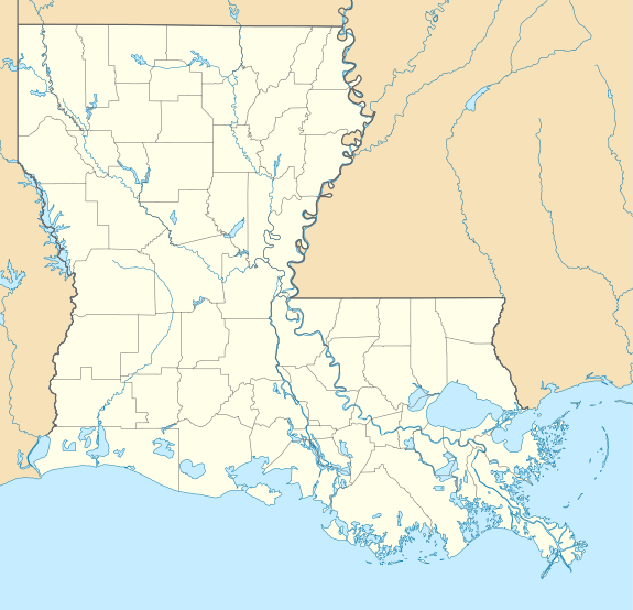
Alsen is an unincorporated community in East Baton Rouge Parish, Louisiana, United States. The community is located less than 2 miles (3.2 kilometres) west of Baker and 6 miles (9.7 kilometres) southwest of Zachary and 2 miles (3.2 kilometres) east of the Mississippi River.
Alsen, Louisiana | |
|---|---|
 Alsen, Louisiana  Alsen, Louisiana | |
| Coordinates: 30°34′17″N 91°12′15″W | |
| Country | United States |
| State | Louisiana |
| Parish | East Baton Rouge |
| Elevation | 72 ft (22 m) |
| Time zone | UTC-6 (Central (CST)) |
| • Summer (DST) | UTC-5 (CDT) |
| ZIP code | 70807 |
| Area code(s) | 225 |
| GNIS feature ID | 542924 [1] |
| FIPS code | 22-01605 |
History
The community was founded in 1872 by an agency of the United States Department of War known as the Freedmen's Bureau designed to help freedmen in the aftermath of the American Civil War.[2]
gollark: ;start
gollark: ;claim 30 attack
gollark: $price msft
gollark: $price orange
gollark: Interesting suggestion, however [bees].
References
- U.S. Geological Survey Geographic Names Information System: Alsen, Louisiana
- Romke Hoogwaerts. "DEEP DOWN, CANCER ALLEY". thereservoir.net. Retrieved 2019-09-06.
Municipalities and communities of East Baton Rouge Parish, Louisiana, United States | ||
|---|---|---|
Parish seat: Baton Rouge | ||
| Cities | 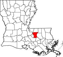 | |
| CDPs | ||
| Unincorporated communities |
| |
This article is issued from Wikipedia. The text is licensed under Creative Commons - Attribution - Sharealike. Additional terms may apply for the media files.