Allanfearn
Allanfearn[1] is a small settlement, it lies 4 miles (6.4 km) east of Inverness, Inverness-shire, Scotland, within the Scottish council area of Highland.[2]
Allanfearn
| |
|---|---|
 Brecknish from Allanfearn Reflections in the Beauly Firth on Christmas morning. The picturesque siting of the houses conceals a sand and gravel pit on Alturlie Point beyond them. | |
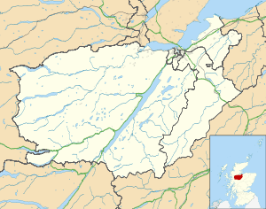 Allanfearn Location within the Inverness area | |
| OS grid reference | NH716474 |
| Council area | |
| Country | Scotland |
| Sovereign state | United Kingdom |
| Postcode district | IV2 7 |
| Police | Scotland |
| Fire | Scottish |
| Ambulance | Scottish |
| UK Parliament | |
| Scottish Parliament | |
Agriculture and tourism
The village is located beside the Moray Firth with most of the fields now being used for hay making or grazing for cattle. The hamlet of Alturlie Point was once a fishing village with nine cottages which would have been the former homes of the salmon fishermen.
gollark: This is also unacceptable discrimination.
gollark: This is actually unacceptable discrimination and banned under UK law.
gollark: The wall bees haven't given me a task yet.
gollark: Yes, that.
gollark: How do you know? You don't have actual ground truth to compare against.
References
- Microsoft; Nokia (27 February 2017). "Allanfearn" (Map). Bing Maps. Microsoft. Retrieved 27 February 2017.
- M., Munro, David (2006). Scotland : an encyclopedia of places & landscapes. Gittings, B. M. (Bruce M.), Royal Scottish Geographical Society. Glasgow: Collins. p. 19. ISBN 9780004724669. OCLC 225152110.
This article is issued from Wikipedia. The text is licensed under Creative Commons - Attribution - Sharealike. Additional terms may apply for the media files.