Allan Water (Ontario)
Allan Water is a river in the James Bay drainage basin in Unorganized Thunder Bay District in northwestern Ontario, Canada.
| Allan Water | |
|---|---|
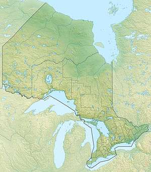 Location of the mouth of the Allan Water in Ontario | |
| Etymology | Named after Allan Water in Scotland |
| Location | |
| Country | Canada |
| Province | Ontario |
| Region | Northwestern Ontario |
| District | Thunder Bay |
| Part | Thunder Bay, Unorganized |
| Physical characteristics | |
| Source | Kawaweogama Lake |
| • location | Allanwater Bridge |
| • coordinates | 50°14′30″N 90°09′50″W |
| • elevation | 417 m (1,368 ft) |
| Mouth | Wabakimi Lake |
• coordinates | 50°37′13″N 89°44′21″W |
• elevation | 357 m (1,171 ft) |
| Length | 71 km (44 mi) |
| Basin features | |
| River system | James Bay drainage basin |
Course
The river begins at the community of Allanwater Bridge at the confluence of the two branches of the Brightsand River: the western branch arriving as the outlet from Kawaweogama Lake and the eastern branch arriving as the outlet from McEwan Lake. The Canadian National Railway Canadian National Railway transcontinental main line over a bridge at the point of confluence, and is the location of Allanwater Bridge railway station, served by Via Rail transcontinental Canadian trains.
The river flows north and splits into two channels, then recombines, takes in the right tributary Nemo River and reaches Brennan Lake. The river leaves the lake east over Brennan Falls to Granite Lake, and then leaves that lake north over Granite Falls. It continues north over Black Beaver Rapids, Little Sturgeon Rapids and Sturgeon Rapids to reach its mouth at Wabakimi Lake on the Ogoki River. The Ogoki flows via the Albany River to James Bay.
With the exception of a short stretch at the start, the river lies within Wabakimi Provincial Park.
Tributaries
- Nemo River (right)
- Labelle Creek (right)
- Foam Creek (left)
See also
References
- "Allan Water". Geographical Names Data Base. Natural Resources Canada. Retrieved 2010-07-19.
- "Toporama - Topographic Map Sheet 52I5, 52I12, 52J1, 52J8,". Atlas of Canada. Natural Resources Canada. Archived from the original on 31 August 2010. Retrieved 2010-07-19.
- "Map sheet 13" (PDF). Official Road Map of Ontario. Ontario Ministry of Transportation. 2009-01-30. Retrieved 2009-08-18.